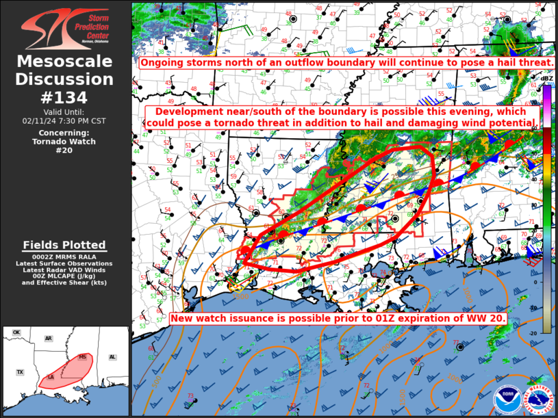
Storm Prediction Center Mesoscale Discussion 134
1 min read
|
|
 |
| Mesoscale Discussion 134 | |
| < Previous MD | |

|
|
   Mesoscale Discussion 0134
   NWS Storm Prediction Center Norman OK
   1149 AM CST Tue Mar 04 2025

   Areas affected...Mississippi and eastern Louisiana

   Concerning...Severe potential...Tornado Watch likely

   Valid 041749Z - 041945Z

   Probability of Watch Issuance...95 percent

   SUMMARY...A downstream tornado watch will be needed soon.

   DISCUSSION...Low to mid 60s dewpoints have started to surge inland
   across southeast Louisiana over the past 2 hours. Sustained 15 to 25
   knot southeasterly flow ahead of the squall line should lead to
   rapid northward destabilization across Mississippi during the next
   few hours. This squall line is currently producing severe wind gusts
   with a 61 knot wind gust at KPOE at 1727 UTC. Mid 60s dewpoints are
   expected south of I-20 in Mississippi which should correspond to the
   area of greatest instability and tornado threat this afternoon.
   North of I-20, upper 50s to low 60s dewpoints should result in
   sufficient instability for a severe wind threat and perhaps some
   line-embedded tornadoes given the magnitude of the low-level shear.

   Across eastern Louisiana and southern Mississippi, where better
   low-level moisture will be present and some heating may result in
   greater instability, discrete supercells may be possible. This is a
   scenario supported by the HRRR consistently. Even if mature
   supercells do not develop ahead of the main squall line, the weaker
   forced southern end of the squall line will likely result in a less
   defined line with embedded supercells. Any supercells which develop,
   ahead of or within the line, will pose a threat for strong tornadoes
   given RAP forecast STP values around 3 to 4 this afternoon and
   evening. Additionally, the strong kinematic environment will support
   QLCS tornadoes within the better defined squall line.

   A tornado watch will be issued soon to address the threat from the
   squall line and any supercells which may develop ahead of the line.

   ..Bentley/Mosier.. 03/04/2025

   ...Please see www.spc.noaa.gov for graphic product...

   ATTN...WFO...BMX...MOB...MEG...JAN...LIX...LZK...LCH...SHV...

   LAT...LON   31289232 33699111 33919009 33978909 33848823 32958830
               31908848 30528874 30038911 29838916 29488920 29248889
               29028893 28868923 29018961 29069005 29039055 29109116
               29259160 29509201 29709214 30429234 31289232
|
|
|
Top/All Mesoscale Discussions/Forecast Products/Home |
|
2025-03-04 18:25:02


