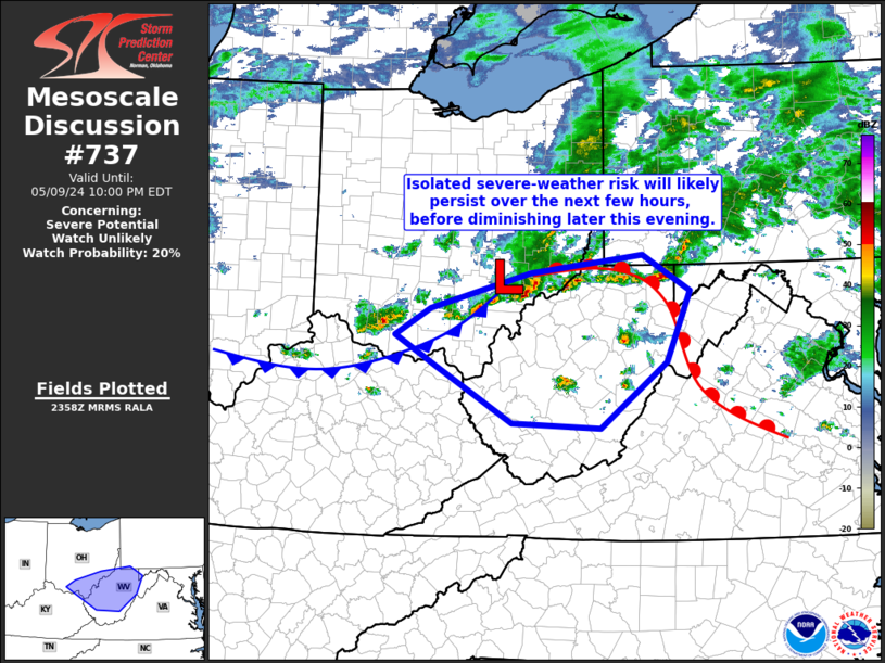
Storm Prediction Center Mesoscale Discussion 737
1 min read
|
|
 |
| Mesoscale Discussion 737 | |
| < Previous MD | |

|
|
   Mesoscale Discussion 0737
   NWS Storm Prediction Center Norman OK
   0122 AM CDT Thu May 08 2025

   Areas affected...Parts of central/eastern AR

   Concerning...Severe potential...Watch unlikely

   Valid 080622Z - 080745Z

   Probability of Watch Issuance...5 percent

   SUMMARY...A threat for isolated hail and damaging wind may persist
   overnight.

   DISCUSSION...A small storm cluster with a history of producing
   isolated hail and wind damage has persisted across AR late tonight,
   with evolution into primarily a single supercell along a propagating
   outflow. This cluster appears to be located in the vicinity of a
   weak baroclinic zone, with slightly warmer temperatures and greater
   instability noted downstream into east-central AR. Deep-layer
   flow/shear is sufficient for storm organization, downstream of a
   midlevel cyclone centered over southeast KS.

   Ascent attendant to the midlevel cyclone and modestly favorable
   downstream instability could support maintenance of the ongoing
   small cluster through part of the overnight, with a continued threat
   of localized hail and damaging gusts.

   ..Dean/Guyer.. 05/08/2025

   ...Please see www.spc.noaa.gov for graphic product...

   ATTN...WFO...MEG...LZK...

   LAT...LON   34969199 35139209 35309208 35539188 35739166 35719067
               35659016 35349020 35069032 34889052 34899086 34869107
               34879140 34889162 34969199

   MOST PROBABLE PEAK WIND GUST...55-70 MPH
   MOST PROBABLE PEAK HAIL SIZE...1.00-1.75 IN
|
|
|
Top/All Mesoscale Discussions/Forecast Products/Home |
|
2025-05-08 06:24:03


