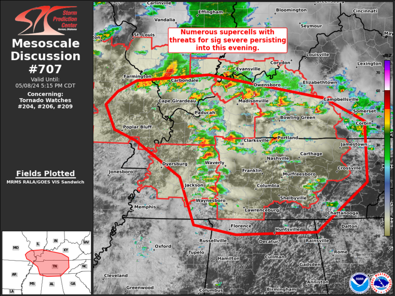
Storm Prediction Center Mesoscale Discussion 707
1 min read
|
|
 |
| Mesoscale Discussion 707 | |
| < Previous MD | |

|
|
Mesoscale Discussion 0707 NWS Storm Prediction Center Norman OK 0711 PM CDT Mon May 05 2025 Areas affected...Parts of the Mid-Atlantic to the central Appalachians Concerning...Severe Thunderstorm Watch 228... Valid 060011Z - 060215Z The severe weather threat for Severe Thunderstorm Watch 228 continues. SUMMARY...A band of thunderstorms may continue to pose a severe hail/wind risk through the mid-evening hours across northern Virginia and Maryland into southwest Pennsylvania. Downstream watch issuance is not likely due to the expectation of a gradually waning thermodynamic environment. DISCUSSION...An arcing band of thunderstorms has begun to develop from southwest PA into northern VA, and is largely being driven by strong ascent ahead of an approaching mid-level shortwave/vorticity maximum (evident in water-vapor imagery). Downstream from this band, the 00 UTC PBZ sounding sampled a weakly capped environment (MLCIN of around -50 J/kg) and some residual buoyancy. Recent RAP mesoanalysis estimates align well with these observations and show a narrow warm sector extending from southwest PA into parts of the Mid-Atlantic where strong/severe thunderstorm clusters continue. A strongly sheared kinematic environment was also noted with weak easterly low-level flow beneath 30-40 knot southeasterly mid-level flow supporting an elongated hodograph. The combination of favorable ascent and strong shear may compensate for the modest thermodynamic environment and support a few organized cells capable of severe hail (most likely between 1.0 to 1.5 inches) and damaging gusts for the next few hours. With time, the onset of nocturnal cooling should steadily inhibit surface-based convection and begin reducing the overall severe threat. As such, downstream watch issuance from 228 is not anticipated. ..Moore.. 05/06/2025 ...Please see www.spc.noaa.gov for graphic product... ATTN...WFO...CTP...LWX...PBZ... LAT...LON 39817715 39557704 39297703 39057707 38827724 38707759 38817794 39337897 39878015 40078069 40368076 40698058 40958014 41047963 40957903 40687841 40387781 40037735 39817715 MOST PROBABLE PEAK TORNADO INTENSITY...UP TO 95 MPH MOST PROBABLE PEAK WIND GUST...55-70 MPH MOST PROBABLE PEAK HAIL SIZE...1.00-1.75 IN |
|
|
Top/All Mesoscale Discussions/Forecast Products/Home |
|
2025-05-06 00:26:03


