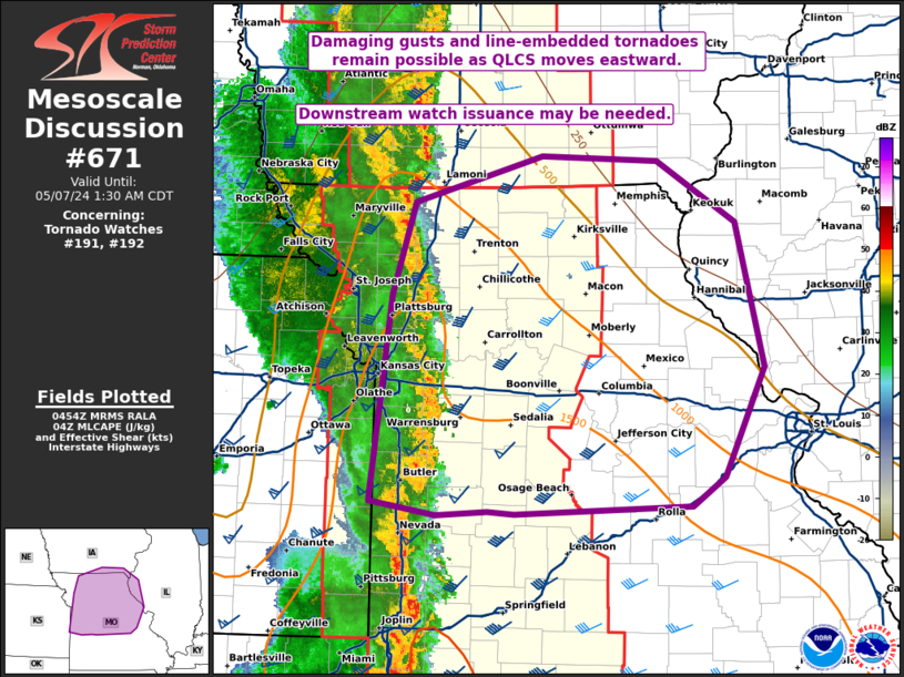
Storm Prediction Center Mesoscale Discussion 671
2 min read
|
|
 |
| Mesoscale Discussion 671 | |
| < Previous MD Next MD > | |

|
|
   Mesoscale Discussion 0671
   NWS Storm Prediction Center Norman OK
   0434 PM CDT Sat May 03 2025

   Areas affected...Eastern Alabama into northwest Georgia

   Concerning...Severe potential...Watch possible

   Valid 032134Z - 032330Z

   Probability of Watch Issuance...40 percent

   SUMMARY...A squall line developing across northeast to central
   Alabama may pose a damaging wind threat through the early evening
   hours. Watch issuance is possible if convective trends continue to
   increase.

   DISCUSSION...An organized squall line continues to develop across
   northeast to central AL as a cold front pushes into the region.
   Earlier cloud cover across the warm sector has begun to erode over
   the past hour or so, resulting in temperatures warming into the mid
   to upper 70s with a corresponding reduction in inhibition and
   increasing MLCAPE (upwards of 500-1000 J/kg per recent mesoanalysis
   estimates). The improving thermodynamic environment, coupled with
   35-40 knots of deep-layer shear per regional VWPs, is supporting an
   overall uptick in convective intensity based on GOES IR imagery and
   MRMS echo tops. Lingering clouds and gradually diminishing diurnal
   insolation suggest that the thermodynamic environment is likely at
   its zenith, so the overall convective intensity remains somewhat
   uncertain heading into the late afternoon/early evening. Regardless,
   based on current observations, this squall line and embedded
   supercells should be sufficient to produce damaging gusts,
   occasional large hail, and perhaps embedded circulations where line
   segments can become meridionally oriented and more orthogonal to the
   southwesterly low-level shear vectors. Trends will continue to be
   monitored for the need for a watch.

   ..Moore/Thompson.. 05/03/2025

   ...Please see www.spc.noaa.gov for graphic product...

   ATTN...WFO...MRX...FFC...BMX...HUN...

   LAT...LON   33078405 32678453 32508502 32438560 32418624 32498684
               32588719 32728729 32948705 33478660 34008607 34498572
               34958504 35028475 35018434 34898408 34618387 34258376
               33728381 33078405

   MOST PROBABLE PEAK TORNADO INTENSITY...UP TO 95 MPH
   MOST PROBABLE PEAK WIND GUST...55-70 MPH
   MOST PROBABLE PEAK HAIL SIZE...UP TO 1.25 IN
|
|
|
Top/All Mesoscale Discussions/Forecast Products/Home |
|
2025-05-03 22:55:02


