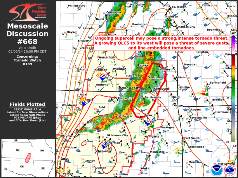
Storm Prediction Center Mesoscale Discussion 668
1 min read
|
|
 |
| Mesoscale Discussion 668 | |
| < Previous MD Next MD > | |

|
|
Mesoscale Discussion 0668 NWS Storm Prediction Center Norman OK 0232 PM CDT Sat May 03 2025 Areas affected...southern New England Concerning...Severe Thunderstorm Watch 218... Valid 031932Z - 032100Z The severe weather threat for Severe Thunderstorm Watch 218 continues. SUMMARY...A strong to isolated severe threat, mainly in the form of damaging winds, should persist for a few more hours. These threats will diminish by early evening. DISCUSSION...Earlier discrete to semi-discrete cells have largely congealed into an emerging linear cluster from western CT into far southern NH. The linear segment will offer the best potential for damaging winds over the next couple hours across northern CT and MA, where surface temperatures in the low to mid 80s are prevalent. Marine-layer influence from Long Island Sound will curtail the southern extent of the severe potential, as well as earlier convection/marine influence near the coastal NH/ME portion of the watch. This suggests the severe-storm threat will diminish in the early evening. ..Grams/Gleason.. 05/03/2025 ...Please see www.spc.noaa.gov for graphic product... ATTN...WFO...GYX...BOX...OKX...ALY... LAT...LON 42277275 42907169 43067126 43067116 42917105 42697092 42487099 42237098 42087110 41887147 41697184 41587228 41467288 41467330 41577324 41937296 42277275 MOST PROBABLE PEAK TORNADO INTENSITY...UP TO 95 MPH MOST PROBABLE PEAK WIND GUST...55-70 MPH MOST PROBABLE PEAK HAIL SIZE...UP TO 1.25 IN |
|
|
Top/All Mesoscale Discussions/Forecast Products/Home |
|
2025-05-03 19:40:05


