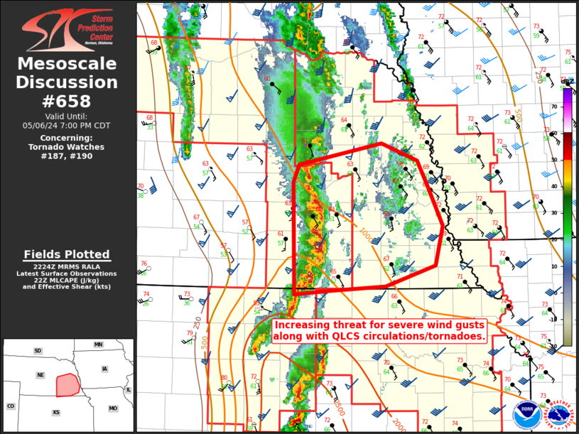
Storm Prediction Center Mesoscale Discussion 658
1 min read
|
|
 |
| Mesoscale Discussion 658 | |
| < Previous MD | |

|
|
Mesoscale Discussion 0658 NWS Storm Prediction Center Norman OK 0442 PM CDT Fri May 02 2025 Areas affected...Northern Pennsylvania into central New York Concerning...Severe Thunderstorm Watch 210... Valid 022142Z - 022345Z The severe weather threat for Severe Thunderstorm Watch 210 continues. SUMMARY...A severe hail and damaging wind threat may persist into northern Pennsylvania and adjacent portions of New York through 00-01 UTC, but downstream watch issuance is not anticipated. DISCUSSION...A broken line of thunderstorms over western PA and far western NY has generally shown signs of weakening over the past 1-2 hours via warming cloud top temperatures. However, a few cells remain fairly robust and will continue to pose a severe hail and damaging wind threat for the next couple of hours. Downstream of this activity, the environment remains supportive of robust convection with MLCAPE estimates to be between 1000-1500 J/kg and sufficient deep-layer wind shear on the order of 30 knots as sampled by regional VWPs. Additionally, low-level lapse rates remain between 7-8 C/km across northern PA into NY. This thermodynamic/kinematic environment should continue to promote an isolated damaging wind threat as storms migrate out of WW 210 and into northern PA/NY between 22-00 UTC. The onset of nocturnal cooling will quickly begin to hinder the thermodynamic environment after 00 UTC, which should result in an increasingly isolated/sporadic severe threat through the remainder of the evening. ..Moore.. 05/02/2025 ...Please see www.spc.noaa.gov for graphic product... ATTN...WFO...OKX...ALY...PHI...BGM...BUF...CTP...PBZ... LAT...LON 40748046 41727949 42317830 42897567 42767499 42397451 42007442 41527467 41127517 40947595 40368002 40468034 40748046 MOST PROBABLE PEAK WIND GUST...55-70 MPH MOST PROBABLE PEAK HAIL SIZE...1.00-1.75 IN |
|
|
Top/All Mesoscale Discussions/Forecast Products/Home |
|
2025-05-02 21:45:04


