Storm Prediction Center Mesoscale Discussion 657
1 min read
|
|
 |
| Mesoscale Discussion 657 | |
| < Previous MD | |

|
|
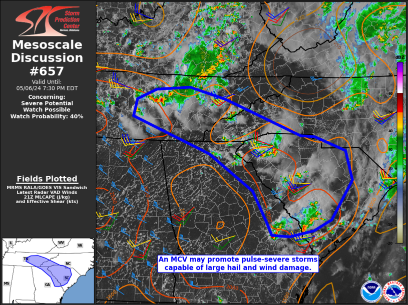
Mesoscale Discussion 0657 NWS Storm Prediction Center Norman OK 0354 PM CDT Fri May 02 2025 Areas affected...portions of far eastern Texas...central and northern Louisiana...and central Mississippi Concerning...Severe Thunderstorm Watch 211... Valid 022054Z - 022230Z The severe weather threat for Severe Thunderstorm Watch 211 continues. SUMMARY...The severe threat continues across Severe Thunderstorm Watch 211. Large hail and damaging gusts remain possible with the stronger storms. DISCUSSION...Multicellular convection persists amid a moderately unstable but weakly sheared airmass across portions of far eastern TX into central MS. Ahead of the storms, surface temperatures remain in the upper 70s to mid 80s F amid upper 60s F dewpoints, with MLCAPE exceeding 2500 J/kg in spots. Multicellular clusters that continue to progress eastward into this more buoyant air will continue to pose a threat for at least marginally severe hail and strong wind gusts. ..Squitieri.. 05/02/2025 ...Please see www.spc.noaa.gov for graphic product... ATTN...WFO...MEG...JAN...LZK...LCH...SHV... LAT...LON 31789456 32569392 33429136 34298855 33788831 33108838 32588865 31909031 30959236 30639345 30559404 30649446 31789456 MOST PROBABLE PEAK TORNADO INTENSITY...UP TO 95 MPH MOST PROBABLE PEAK WIND GUST...55-70 MPH MOST PROBABLE PEAK HAIL SIZE...1.00-1.75 IN |
|
|
Top/All Mesoscale Discussions/Forecast Products/Home |
|
2025-05-02 21:14:03


