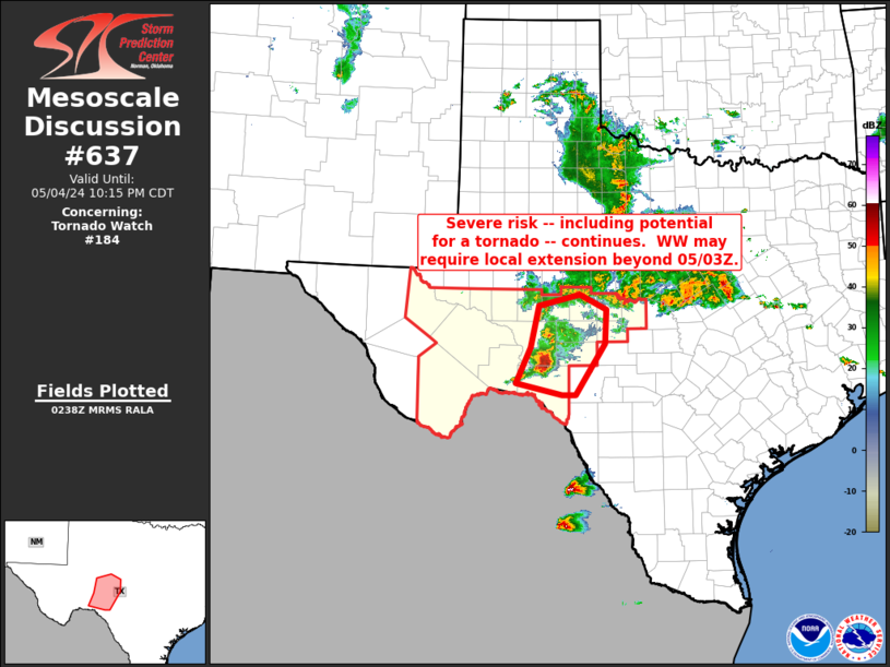
Storm Prediction Center Mesoscale Discussion 637
1 min read
|
|
 |
| Mesoscale Discussion 637 | |
| < Previous MD Next MD > | |

|
|
Mesoscale Discussion 0637 NWS Storm Prediction Center Norman OK 0548 PM CDT Thu May 01 2025 Areas affected...Portions of Southwest into Central Texas Concerning...Severe Thunderstorm Watch 204...205... Valid 012248Z - 020015Z The severe weather threat for Severe Thunderstorm Watch 204, 205 continues. SUMMARY...Scattered slow-moving severe thunderstorms will continue into the early-evening hours. Hail is the primary concern. DISCUSSION...Scattered slow-moving thunderstorms continue within a very high-instability air mass from the international border over southeast Terrell County to Leon County. Wind profiles favor storm splits and latest radar data supports this with several left-movers advancing north of the watch at times. Even so, the primary concern this evening will be for the east-west corridor to gradually sag south as the dominant updrafts should tend to drift more southerly. MRMS data suggests large, to very large hail is common with this activity. ..Darrow.. 05/01/2025 ...Please see www.spc.noaa.gov for graphic product... ATTN...WFO...HGX...FWD...EWX...SJT...MAF... LAT...LON 30330191 30590001 31139804 31489585 30389610 30039815 28770141 30330191 MOST PROBABLE PEAK TORNADO INTENSITY...85-115 MPH MOST PROBABLE PEAK WIND GUST...65-80 MPH MOST PROBABLE PEAK HAIL SIZE...2.75-4.25 IN |
|
|
Top/All Mesoscale Discussions/Forecast Products/Home |
|
2025-05-01 23:20:03


