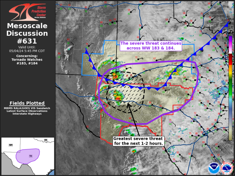
Storm Prediction Center Mesoscale Discussion 631
1 min read
|
|
 |
| Mesoscale Discussion 631 | |
| < Previous MD | |

|
|
   Mesoscale Discussion 0631
   NWS Storm Prediction Center Norman OK
   1112 AM CDT Thu May 01 2025

   Areas affected...OH...western PA...eastern KY...northern WV

   Concerning...Severe potential...Severe Thunderstorm Watch likely

   Valid 011612Z - 011815Z

   Probability of Watch Issuance...80 percent

   SUMMARY...Lower-topped convection along a confluence axis should
   intensify through the afternoon, increasing the risk for scattered
   damaging winds and isolated, marginally severe hail. With moderate
   uncertainty on timing and spatial extent, a severe thunderstorm
   watch will likely be needed, centered on the Upper Ohio Valley.

   DISCUSSION...Convection has gradually increased along a generally
   north/south-oriented confluence axis along the IN/OH border into
   central KY. 30-35 kt measured gusts have been observed thus far,
   with much of the line remaining low-topped. Modified 12Z ILN
   sounding along with short-term forecast soundings indicate the
   downstream airmass is supporting weak buoyancy as temperatures have
   warmed to 75-80 F. Further warming is expected to yield 1000-1500
   J/kg of MLCAPE in the next hour or two. These soundings along with
   regional VWP data suggest that much of the wind shear is
   concentrated in the low-levels with an ill-defined mid/upper
   hodograph amid a unidirectional southwesterly profile. This suggests
   that supercells should struggle to be maintained beyond
   weak/transient structures. Morning CAM guidance also offers a
   variety of potential outcomes this afternoon, but the more preferred
   guidance depicts scattered multicell clustering increasing across OH
   into eastern KY. Small to marginally severe hail cores should
   enhance downdraft potential for scattered damaging winds.

   ..Grams/Hart.. 05/01/2025

   ...Please see www.spc.noaa.gov for graphic product...

   ATTN...WFO...PBZ...RLX...CLE...JKL...ILN...LMK...

   LAT...LON   39818418 40008411 40618385 40858310 41138217 41328095
               41348052 41087992 40627967 40068000 39618046 39428119
               38838244 37838377 37928519 39818418

   MOST PROBABLE PEAK TORNADO INTENSITY...UP TO 95 MPH
   MOST PROBABLE PEAK WIND GUST...55-70 MPH
   MOST PROBABLE PEAK HAIL SIZE...UP TO 1.25 IN
|
|
|
Top/All Mesoscale Discussions/Forecast Products/Home |
|
2025-05-01 17:31:03


