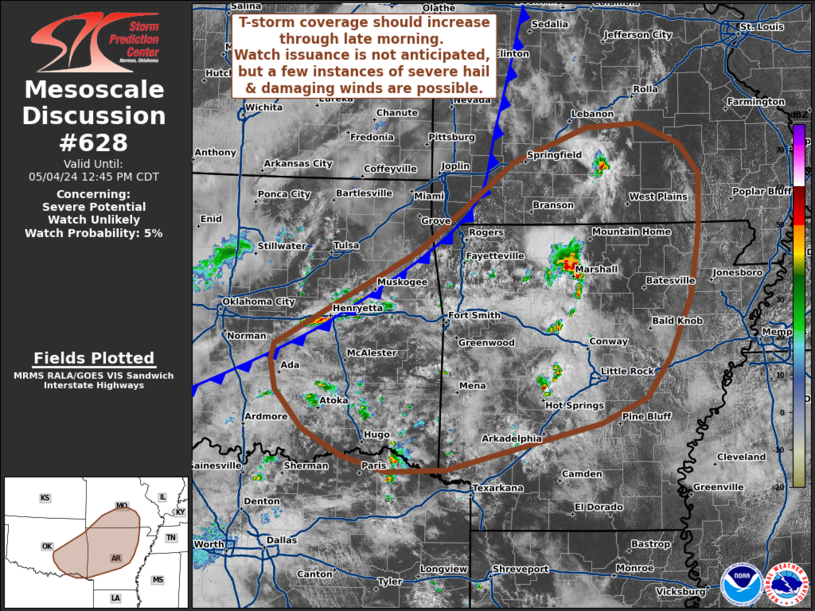
Storm Prediction Center Mesoscale Discussion 628
1 min read
|
|
 |
| Mesoscale Discussion 628 | |
| < Previous MD | |

|
|
Mesoscale Discussion 0628 NWS Storm Prediction Center Norman OK 0719 PM CDT Wed Apr 30 2025 Areas affected...Parts of east Texas Concerning...Tornado Watch 198... Valid 010019Z - 010145Z The severe weather threat for Tornado Watch 198 continues. SUMMARY...Risk of severe hail persists across parts of east Texas -- within WW198. DISCUSSION...Semi-discrete storms have been confined to the north of an outflow-reinforced cold front across east TX -- where steep midlevel lapse rates/ample elevated instability and 50 kt of effective shear is favoring a severe hail risk. Over the next few hours, the front may move slowly southward, though it is unclear if storms will become surface-based. Nevertheless, a severe hail risk should persist for another couple hours, and either an extension of the current watch or an additional watch (Severe Thunderstorm) would be warranted. ..Weinman/Smith.. 05/01/2025 ...Please see www.spc.noaa.gov for graphic product... ATTN...WFO...SHV...HGX...FWD...EWX... LAT...LON 31209766 31499746 31859667 32179524 32069486 31709473 31339512 30719655 30659715 30849759 31209766 MOST PROBABLE PEAK TORNADO INTENSITY...85-115 MPH MOST PROBABLE PEAK WIND GUST...55-70 MPH MOST PROBABLE PEAK HAIL SIZE...1.00-1.75 IN |
|
|
Top/All Mesoscale Discussions/Forecast Products/Home |
|
2025-05-01 01:01:06


