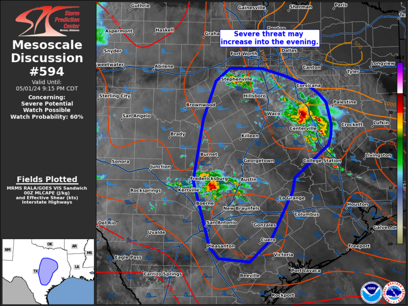
Storm Prediction Center Mesoscale Discussion 594
1 min read
|
|
 |
| Mesoscale Discussion 594 | |
| < Previous MD | |

|
|
Mesoscale Discussion 0594 NWS Storm Prediction Center Norman OK 0855 PM CDT Mon Apr 28 2025 Areas affected...Parts of southwest Oklahoma Concerning...Tornado Watch 182... Valid 290155Z - 290300Z The severe weather threat for Tornado Watch 182 continues. SUMMARY...Supercell tornado potential is likely peaking over the next hour or two. DISCUSSION...After several storm mergers into a cluster of supercells over southwest OK -- to include a left-mover that produced 3-inch hail, the latest radar data has shown signs that right-movers are attempting to become dominant. This is in response to the strengthening low-level jet and related enlargement of clockwise-curved hodograph sampled by the FDR VWP (around 270 m2/s2 0-500m SRH). While uncertainty remains in the overall tornado risk, given the continued messy mode, recent trends and environmental data suggest that the right movers could mature and pose an increased tornado risk over the next hour or two. ..Weinman.. 04/29/2025 ...Please see www.spc.noaa.gov for graphic product... ATTN...WFO...OUN... LAT...LON 34749962 35029950 35199863 35159822 34719805 34539820 34429887 34429947 34749962 MOST PROBABLE PEAK TORNADO INTENSITY...100-130 MPH MOST PROBABLE PEAK WIND GUST...65-80 MPH MOST PROBABLE PEAK HAIL SIZE...2.00-3.50 IN |
|
|
Top/All Mesoscale Discussions/Forecast Products/Home |
|
2025-04-29 01:58:03


