Storm Prediction Center Mesoscale Discussion 589
1 min read
|
|
 |
| Mesoscale Discussion 589 | |
| < Previous MD | |

|
|
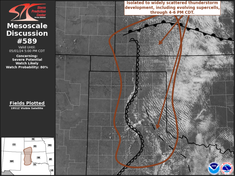
Mesoscale Discussion 0589 NWS Storm Prediction Center Norman OK 0529 PM CDT Mon Apr 28 2025 Areas affected...Northeast Nebraska...southeast South Dakota...northwest Iowa Concerning...Severe potential...Watch possible Valid 282229Z - 290000Z Probability of Watch Issuance...40 percent SUMMARY...Scattered strong/severe thunderstorms are expected this evening. Some consideration is being given to a severe thunderstorm watch. DISCUSSION...Synoptic front is surging southeast across southeast South Dakota early this evening. A pre-frontal confluence zone is contributing to a corridor of high-based cumulus from central NE into extreme northwest IA. Lightning is now being observed with frontal convection west-north of ONL, and this activity is expected to gradually intensify over the next few hours as it propagates downstream along a zone of modest instability. Strong deep-layer shear suggests some supercell potential, and hail will likely be the primary concern, though steep boundary-layer lapse rates do favor gusty winds. If this activity continues to increase in coverage/intensity a severe thunderstorm watch may be warranted. ..Darrow/Gleason.. 04/28/2025 ...Please see www.spc.noaa.gov for graphic product... ATTN...WFO...FSD...OAX...GID...LBF... LAT...LON 42919834 43359612 41969584 41709911 42919834 MOST PROBABLE PEAK TORNADO INTENSITY...UP TO 95 MPH MOST PROBABLE PEAK WIND GUST...55-70 MPH MOST PROBABLE PEAK HAIL SIZE...1.50-2.50 IN |
|
|
Top/All Mesoscale Discussions/Forecast Products/Home |
|
2025-04-28 22:32:02


