Note:
The expiration time in the watch graphic is amended if the watch is
replaced, cancelled or extended. Note: Click for Watch Status Reports.
SEL8
URGENT - IMMEDIATE BROADCAST REQUESTED
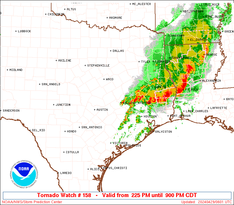
Tornado Watch Number 158
NWS Storm Prediction Center Norman OK
950 PM CDT Sun Apr 20 2025
The NWS Storm Prediction Center has issued a
* Tornado Watch for portions of
Southern Illinois
Southwest Indiana
Western Kentucky
Western Tennessee
* Effective this Sunday night and Monday morning from 950 PM
until 400 AM CDT.
* Primary threats include...
A couple tornadoes possible
Isolated damaging wind gusts to 70 mph possible
SUMMARY...The potential for severe thunderstorms, including a
damaging wind and tornado risk, will develop east-northeastward
through late evening and overnight, but generally on an increasingly
isolated basis.
The tornado watch area is approximately along and 30 statute miles
east and west of a line from 150 miles north northeast of Paducah KY
to 45 miles south southwest of Dyersburg TN. For a complete
depiction of the watch see the associated watch outline update
(WOUS64 KWNS WOU8).
PRECAUTIONARY/PREPAREDNESS ACTIONS...
REMEMBER...A Tornado Watch means conditions are favorable for
tornadoes and severe thunderstorms in and close to the watch
area. Persons in these areas should be on the lookout for
threatening weather conditions and listen for later statements
and possible warnings.
&&
OTHER WATCH INFORMATION...CONTINUE...WW 155...WW 156...WW 157...
AVIATION...Tornadoes and a few severe thunderstorms with hail
surface and aloft to 1 inch. Extreme turbulence and surface wind
gusts to 60 knots. A few cumulonimbi with maximum tops to 450. Mean
storm motion vector 23030.
...Guyer
   SEL8

   URGENT - IMMEDIATE BROADCAST REQUESTED
   Tornado Watch Number 158
   NWS Storm Prediction Center Norman OK
   950 PM CDT Sun Apr 20 2025

   The NWS Storm Prediction Center has issued a

   * Tornado Watch for portions of
     Southern Illinois
     Southwest Indiana
     Western Kentucky
     Western Tennessee

   * Effective this Sunday night and Monday morning from 950 PM
     until 400 AM CDT.

   * Primary threats include...
     A couple tornadoes possible
     Isolated damaging wind gusts to 70 mph possible

   SUMMARY...The potential for severe thunderstorms, including a
   damaging wind and tornado risk, will develop east-northeastward
   through late evening and overnight, but generally on an increasingly
   isolated basis.

   The tornado watch area is approximately along and 30 statute miles
   east and west of a line from 150 miles north northeast of Paducah KY
   to 45 miles south southwest of Dyersburg TN. For a complete
   depiction of the watch see the associated watch outline update
   (WOUS64 KWNS WOU8).

   PRECAUTIONARY/PREPAREDNESS ACTIONS...

   REMEMBER...A Tornado Watch means conditions are favorable for
   tornadoes and severe thunderstorms in and close to the watch
   area. Persons in these areas should be on the lookout for
   threatening weather conditions and listen for later statements
   and possible warnings.

   &&

   OTHER WATCH INFORMATION...CONTINUE...WW 155...WW 156...WW 157...

   AVIATION...Tornadoes and a few severe thunderstorms with hail
   surface and aloft to 1 inch. Extreme turbulence and surface wind
   gusts to 60 knots. A few cumulonimbi with maximum tops to 450. Mean
   storm motion vector 23030.

   ...Guyer
Note:
The Aviation Watch (SAW) product is an approximation to the watch area.
The actual watch is depicted by the shaded areas.
   SAW8
   WW 158 TORNADO IL IN KY TN 210250Z - 210900Z
   AXIS..30 STATUTE MILES EAST AND WEST OF LINE..
   150NNE PAH/PADUCAH KY/ - 45SSW DYR/DYERSBURG TN/
   ..AVIATION COORDS.. 25NM E/W /33SW TTH - 24NNE MEM/
   HAIL SURFACE AND ALOFT..1 INCH. WIND GUSTS..60 KNOTS.
   MAX TOPS TO 450. MEAN STORM MOTION VECTOR 23030.

   LAT...LON 39078714 35408917 35409024 39078826

   THIS IS AN APPROXIMATION TO THE WATCH AREA.  FOR A
   COMPLETE DEPICTION OF THE WATCH SEE WOUS64 KWNS
   FOR WOU8.
Watch 158 Status Report Message has not been issued yet.
Probability of 1 or more strong (EF2-EF5) tornadoes
Low (20%)
Wind
Probability of 10 or more severe wind events
Mod (30%)
Probability of 1 or more wind events > 65 knots
Low (10%)
Hail
Probability of 10 or more severe hail events
Low (<5%)
Probability of 1 or more hailstones > 2 inches
Low (<5%)
Combined Severe Hail/Wind
Probability of 6 or more combined severe hail/wind events
Mod (50%)
For each watch, probabilities for particular events inside the watch
(listed above in each table) are determined by the issuing forecaster.
The “Low” category contains probability values ranging from less than 2%
to 20% (EF2-EF5 tornadoes), less than 5% to 20% (all other probabilities),
“Moderate” from 30% to 60%, and “High” from 70% to greater than 95%.
High values are bolded and lighter in color to provide awareness of
an increased threat for a particular event.