Storm Prediction Center Severe Thunderstorm Watch 146
5 min read
5 months ago
Note:
The expiration time in the watch graphic is amended if the watch is
replaced, cancelled or extended. Note: Click for Watch Status Reports.
SEL6
URGENT - IMMEDIATE BROADCAST REQUESTED
Severe Thunderstorm Watch Number 146
NWS Storm Prediction Center Norman OK
1200 AM CDT Sat Apr 19 2025
The NWS Storm Prediction Center has issued a
* Severe Thunderstorm Watch for portions of
West-Central Texas
* Effective this Saturday morning from Midnight until 700 AM CDT.
* Primary threats include...
Scattered large hail and isolated very large hail events to 2
inches in diameter possible
Isolated damaging wind gusts to 70 mph possible
A tornado or two possible
SUMMARY...Strong to severe thunderstorms will continue to increase
overnight across the Edwards Plateau and vicinity, with large hail
and damaging winds as the primary severe risks.
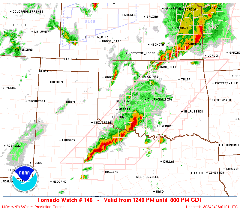
The severe thunderstorm watch area is approximately along and 60
statute miles east and west of a line from 35 miles east northeast
of Abilene TX to 50 miles west southwest of Junction TX. For a
complete depiction of the watch see the associated watch outline
update (WOUS64 KWNS WOU6).
PRECAUTIONARY/PREPAREDNESS ACTIONS...
REMEMBER...A Severe Thunderstorm Watch means conditions are
favorable for severe thunderstorms in and close to the watch area.
Persons in these areas should be on the lookout for threatening
weather conditions and listen for later statements and possible
warnings. Severe thunderstorms can and occasionally do produce
tornadoes.
&&
OTHER WATCH INFORMATION...CONTINUE...WW 143...WW 144...WW 145...
AVIATION...A few severe thunderstorms with hail surface and aloft to
2 inches. Extreme turbulence and surface wind gusts to 60 knots. A
few cumulonimbi with maximum tops to 500. Mean storm motion vector
23030.
...Guyer
   SEL6

   URGENT - IMMEDIATE BROADCAST REQUESTED
   Severe Thunderstorm Watch Number 146
   NWS Storm Prediction Center Norman OK
   1200 AM CDT Sat Apr 19 2025

   The NWS Storm Prediction Center has issued a

   * Severe Thunderstorm Watch for portions of
     West-Central Texas

   * Effective this Saturday morning from Midnight until 700 AM CDT.

   * Primary threats include...
     Scattered large hail and isolated very large hail events to 2
       inches in diameter possible
     Isolated damaging wind gusts to 70 mph possible
     A tornado or two possible

   SUMMARY...Strong to severe thunderstorms will continue to increase
   overnight across the Edwards Plateau and vicinity, with large hail
   and damaging winds as the primary severe risks.

   The severe thunderstorm watch area is approximately along and 60
   statute miles east and west of a line from 35 miles east northeast
   of Abilene TX to 50 miles west southwest of Junction TX. For a
   complete depiction of the watch see the associated watch outline
   update (WOUS64 KWNS WOU6).

   PRECAUTIONARY/PREPAREDNESS ACTIONS...

   REMEMBER...A Severe Thunderstorm Watch means conditions are
   favorable for severe thunderstorms in and close to the watch area.
   Persons in these areas should be on the lookout for threatening
   weather conditions and listen for later statements and possible
   warnings. Severe thunderstorms can and occasionally do produce
   tornadoes.

   &&

   OTHER WATCH INFORMATION...CONTINUE...WW 143...WW 144...WW 145...

   AVIATION...A few severe thunderstorms with hail surface and aloft to
   2 inches. Extreme turbulence and surface wind gusts to 60 knots. A
   few cumulonimbi with maximum tops to 500. Mean storm motion vector
   23030.

   ...Guyer
Note:
The Aviation Watch (SAW) product is an approximation to the watch area.
The actual watch is depicted by the shaded areas.
   SAW6
   WW 146 SEVERE TSTM TX 190500Z - 191200Z
   AXIS..60 STATUTE MILES EAST AND WEST OF LINE..
   35ENE ABI/ABILENE TX/ - 50WSW JCT/JUNCTION TX/
   ..AVIATION COORDS.. 50NM E/W /38ENE ABI - 43WSW JCT/
   HAIL SURFACE AND ALOFT..2 INCHES. WIND GUSTS..60 KNOTS.
   MAX TOPS TO 500. MEAN STORM MOTION VECTOR 23030.

   LAT...LON 32619809 30249954 30240155 32610016

   THIS IS AN APPROXIMATION TO THE WATCH AREA.  FOR A
   COMPLETE DEPICTION OF THE WATCH SEE WOUS64 KWNS
   FOR WOU6.
Watch 146 Status Report Messages:
STATUS REPORT #3 ON WW 146

VALID 190840Z - 190940Z

SEVERE WEATHER THREAT CONTINUES RIGHT OF A LINE FROM 60 WSW JCT
TO 45 S ABI TO 45 W MWL.

..BROYLES..04/19/25

ATTN...WFO...SJT...FWD...

&&

STATUS REPORT FOR WS 146

SEVERE WEATHER THREAT CONTINUES FOR THE FOLLOWING AREAS

TXC049-083-093-095-133-143-193-237-267-307-319-327-333-363-411-
429-503-190940-

TX
.    TEXAS COUNTIES INCLUDED ARE

BROWN		     COLEMAN		 COMANCHE
CONCHO		     EASTLAND		 ERATH
HAMILTON	     JACK		 KIMBLE
MCCULLOCH	     MASON		 MENARD
MILLS		     PALO PINTO 	 SAN SABA
STEPHENS	     YOUNG
$$


THE WATCH STATUS MESSAGE IS FOR GUIDANCE PURPOSES ONLY.  PLEASE
REFER TO WATCH COUNTY NOTIFICATION STATEMENTS FOR OFFICIAL
INFORMATION ON COUNTIES...INDEPENDENT CITIES AND MARINE ZONES
CLEARED FROM SEVERE THUNDERSTORM AND TORNADO WATCHES.
$$

STATUS REPORT #2 ON WW 146

VALID 190650Z - 190740Z

SEVERE WEATHER THREAT CONTINUES RIGHT OF A LINE FROM 30 NE 6R6 TO
40 WSW ABI.

..BROYLES..04/19/25

ATTN...WFO...SJT...FWD...

&&

STATUS REPORT FOR WS 146

SEVERE WEATHER THREAT CONTINUES FOR THE FOLLOWING AREAS

TXC049-059-081-083-093-095-105-133-143-193-235-267-307-319-327-
333-399-411-413-435-441-451-190740-

TX
.    TEXAS COUNTIES INCLUDED ARE

BROWN		     CALLAHAN		 COKE
COLEMAN 	     COMANCHE		 CONCHO
CROCKETT	     EASTLAND		 ERATH
HAMILTON	     IRION		 KIMBLE
MCCULLOCH	     MASON		 MENARD
MILLS		     RUNNELS		 SAN SABA
SCHLEICHER	     SUTTON		 TAYLOR
TOM GREEN
$$


THE WATCH STATUS MESSAGE IS FOR GUIDANCE PURPOSES ONLY.  PLEASE
REFER TO WATCH COUNTY NOTIFICATION STATEMENTS FOR OFFICIAL
INFORMATION ON COUNTIES...INDEPENDENT CITIES AND MARINE ZONES
CLEARED FROM SEVERE THUNDERSTORM AND TORNADO WATCHES.
$$

STATUS REPORT #1 ON WW 146

VALID 190540Z - 190640Z

THE SEVERE WEATHER THREAT CONTINUES ACROSS THE ENTIRE WATCH AREA.

..BROYLES..04/19/25

ATTN...WFO...SJT...FWD...

&&

STATUS REPORT FOR WS 146

SEVERE WEATHER THREAT CONTINUES FOR THE FOLLOWING AREAS

TXC049-059-081-083-093-095-105-133-143-193-235-267-307-319-327-
333-399-411-413-431-435-441-451-190640-

TX
.    TEXAS COUNTIES INCLUDED ARE

BROWN		     CALLAHAN		 COKE
COLEMAN 	     COMANCHE		 CONCHO
CROCKETT	     EASTLAND		 ERATH
HAMILTON	     IRION		 KIMBLE
MCCULLOCH	     MASON		 MENARD
MILLS		     RUNNELS		 SAN SABA
SCHLEICHER	     STERLING		 SUTTON
TAYLOR		     TOM GREEN
$$


THE WATCH STATUS MESSAGE IS FOR GUIDANCE PURPOSES ONLY.  PLEASE
REFER TO WATCH COUNTY NOTIFICATION STATEMENTS FOR OFFICIAL
INFORMATION ON COUNTIES...INDEPENDENT CITIES AND MARINE ZONES
CLEARED FROM SEVERE THUNDERSTORM AND TORNADO WATCHES.
$$
Probability of 1 or more strong (EF2-EF5) tornadoes
Low (5%)
Wind
Probability of 10 or more severe wind events
Mod (30%)
Probability of 1 or more wind events > 65 knots
Low (10%)
Hail
Probability of 10 or more severe hail events
Mod (50%)
Probability of 1 or more hailstones > 2 inches
Mod (40%)
Combined Severe Hail/Wind
Probability of 6 or more combined severe hail/wind events
High (80%)
For each watch, probabilities for particular events inside the watch
(listed above in each table) are determined by the issuing forecaster.
The “Low” category contains probability values ranging from less than 2%
to 20% (EF2-EF5 tornadoes), less than 5% to 20% (all other probabilities),
“Moderate” from 30% to 60%, and “High” from 70% to greater than 95%.
High values are bolded and lighter in color to provide awareness of
an increased threat for a particular event.