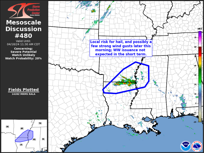
Storm Prediction Center Mesoscale Discussion 480
1 min read
|
|
 |
| Mesoscale Discussion 480 | |
| < Previous MD | |

|
|
   Mesoscale Discussion 0480
   NWS Storm Prediction Center Norman OK
   0305 AM CDT Sat Apr 19 2025

   Areas affected...Southeast Illinois...Southern Indiana

   Concerning...Severe potential...Watch unlikely

   Valid 190805Z - 191000Z

   Probability of Watch Issuance...20 percent

   SUMMARY...An isolated potential for strong gusts will likely
   continue over the next hour or two. The threat should be too
   marginal for weather watch issuance.

   DISCUSSION...The latest high-resolution radar from St. Louis shows a
   short bowing line segment over southeast Illinois. The storm is
   located within a narrow corridor of low-level moisture to the
   southeast of a cold front. Aloft, a 80 to 90 knot mid-level speed
   max is analyzed by the RAP to the southwest of the line segment.
   This mid-level jet appears to be providing lift and strong
   deep-layer shear sufficient for a marginal severe threat. As the
   short line segment moves eastward, isolated strong gusts will be
   possible. Instability towards the east is considerably weaker,
   suggesting that the cell should gradually ramp down in intensity
   over time.

   ..Broyles/Gleason.. 04/19/2025

   ...Please see www.spc.noaa.gov for graphic product...

   ATTN...WFO...LMK...IND...PAH...ILX...LSX...

   LAT...LON   39388790 39488709 39508599 39288557 38958555 38678602
               38518709 38398826 38488875 38728894 38978895 39238862
               39388790

   MOST PROBABLE PEAK TORNADO INTENSITY...UP TO 95 MPH
   MOST PROBABLE PEAK WIND GUST...UP TO 60 MPH
   MOST PROBABLE PEAK HAIL SIZE...UP TO 1.25 IN
|
|
|
Top/All Mesoscale Discussions/Forecast Products/Home |
|
2025-04-19 08:08:02


