Storm Prediction Center Mesoscale Discussion 479
1 min read
|
|
 |
| Mesoscale Discussion 479 | |
| < Previous MD | |

|
|
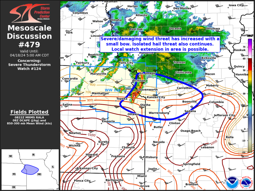
Mesoscale Discussion 0479 NWS Storm Prediction Center Norman OK 0221 AM CDT Sat Apr 19 2025 Areas affected...West-central and North Texas Concerning...Severe Thunderstorm Watch 146... Valid 190721Z - 190915Z The severe weather threat for Severe Thunderstorm Watch 146 continues. SUMMARY...A severe threat will likely continue across west-central Texas over the next couple of hours. Large hail and severe gusts will the primary threats, but a tornado will also be possible. The threat may gradually move east-northeastward into parts of central and north-central Texas over the next couple of hours. DISCUSSION...The latest high-resolution radar from San Angelo shows a broken line of organized thunderstorms, with a few of the storms being severe. The line is located within strong southwest flow aloft, and is to the east of a dryline. The RAP has a corridor of moderate instability across central Texas, where MUCAPE is estimated in the 2000 to 2500 J/kg range. The storms are currently located to the west of this corridor, but should gradually move toward the western edge of the stronger instability over the next few hours. This will help maintain convective development. RAP forecast soundings across west-central Texas have 0-6 km shear in the 40 to 50 knot range, with 700-500 mb lapse rates near 8 C/km. This will likely continue to support supercells with large hail. The more intense cores could produce hailstones greater than 2 inches in diameter. Isolated severe gusts, along with a tornado will also be possible. ..Broyles.. 04/19/2025 ...Please see www.spc.noaa.gov for graphic product... ATTN...WFO...FWD...EWX...SJT... LAT...LON 29950046 29880098 29950124 30180144 30470142 30900108 32499965 32929929 33229887 33299855 33259829 33199809 32969791 32529792 31939830 31089910 30319976 29950046 MOST PROBABLE PEAK TORNADO INTENSITY...85-115 MPH MOST PROBABLE PEAK WIND GUST...55-70 MPH MOST PROBABLE PEAK HAIL SIZE...1.50-2.50 IN |
|
|
Top/All Mesoscale Discussions/Forecast Products/Home |
|
2025-04-19 07:27:03


