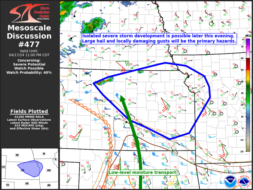
Storm Prediction Center Mesoscale Discussion 477
1 min read
|
|
 |
| Mesoscale Discussion 477 | |
| < Previous MD | |

|
|
   Mesoscale Discussion 0477
   NWS Storm Prediction Center Norman OK
   1145 PM CDT Fri Apr 18 2025

   Areas affected...the Permian Basin into parts of central Texas

   Concerning...Severe potential...Watch possible

   Valid 190445Z - 190615Z

   Probability of Watch Issuance...60 percent

   SUMMARY...An increase in storm coverage/intensity is expected
   overnight. A severe thunderstorm watch may be needed.

   DISCUSSION...Storms have started to develop in Crockett county
   within the past 30 minutes. This is likely the beginning stages of
   scattered strong to severe storms through the overnight period. A
   modest increase in the low-level jet has been noted on the KSJT VWP
   with additional strengthening anticipated into the overnight period.
   1500 to 2000 J/kg MUCAPE is present across the region (per SPC
   mesoanalysis) which, combined with 70+ knots of effective shear,
   would support the potential for supercells capable of large hail.
   While storms will likely be elevated initially, there is sufficient
   low-level moisture, especially with eastward extent that some
   surface-based storm threat and greater severe wind/isolated tornado
   threat may exist farther east, especially if storms grow upscale.

   ..Bentley/Guyer.. 04/19/2025

   ...Please see www.spc.noaa.gov for graphic product...

   ATTN...WFO...FWD...EWX...SJT...MAF...

   LAT...LON   30790156 31170160 32330044 32579877 32489809 30889895
               30370027 30360135 30790156

   MOST PROBABLE PEAK TORNADO INTENSITY...UP TO 95 MPH
   MOST PROBABLE PEAK WIND GUST...55-70 MPH
   MOST PROBABLE PEAK HAIL SIZE...1.50-2.50 IN
|
|
|
Top/All Mesoscale Discussions/Forecast Products/Home |
|
2025-04-19 05:02:03


