Storm Prediction Center Mesoscale Discussion 476
2 min read
|
|
 |
| Mesoscale Discussion 476 | |
| < Previous MD Next MD > | |

|
|
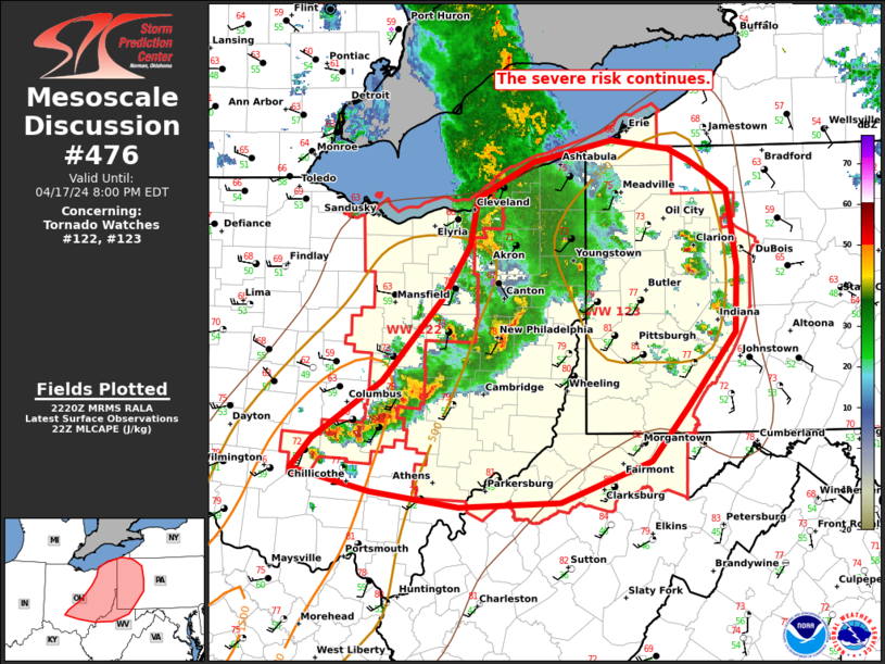
Mesoscale Discussion 0476 NWS Storm Prediction Center Norman OK 1126 PM CDT Fri Apr 18 2025 Areas affected...south-central Oklahoma and north-central Texas into eastern Oklahoma. Concerning...Tornado Watch 144... Valid 190426Z - 190600Z The severe weather threat for Tornado Watch 144 continues. SUMMARY...A severe weather threat will continue into the overnight hours. DISCUSSION...Several supercells have developed late this evening across south-central and eastern Oklahoma and into north Texas with hail up to golf ball size. A strengthening low-level jet (sampled by the KFWS VWP) and continued destabilization via moistening around 1km and cooling temperatures aloft should continue to support a supercell threat into the overnight hours. Large hail will be the primary threat, but some tornado threat will continue to exist with any storms along and south of the cold front where an STP of 1 to 2 is present. Additional severe convection west and north of the ongoing storms from Stephens to Cleveland county remains uncertain. The core of the low-level jet appears to be focused mostly east of that axis with minimal evidence on the KFDR VWP and only modest strengthening at 1km from KDYX. Therefore, convection will likely be preferred from south-central Oklahoma and eastward, but sufficient elevated instability remains across northwest Texas and southwest Oklahoma that additional development is possible. ..Bentley.. 04/19/2025 ...Please see www.spc.noaa.gov for graphic product... ATTN...WFO...TSA...FWD...OUN... LAT...LON 33819820 34389901 34949907 35229859 36249660 36269650 36519556 36359486 36069466 35459470 34589568 33829665 33749728 33689783 33819820 MOST PROBABLE PEAK TORNADO INTENSITY...85-115 MPH MOST PROBABLE PEAK WIND GUST...55-70 MPH MOST PROBABLE PEAK HAIL SIZE...1.50-2.50 IN |
|
|
Top/All Mesoscale Discussions/Forecast Products/Home |
|
2025-04-19 04:48:03


