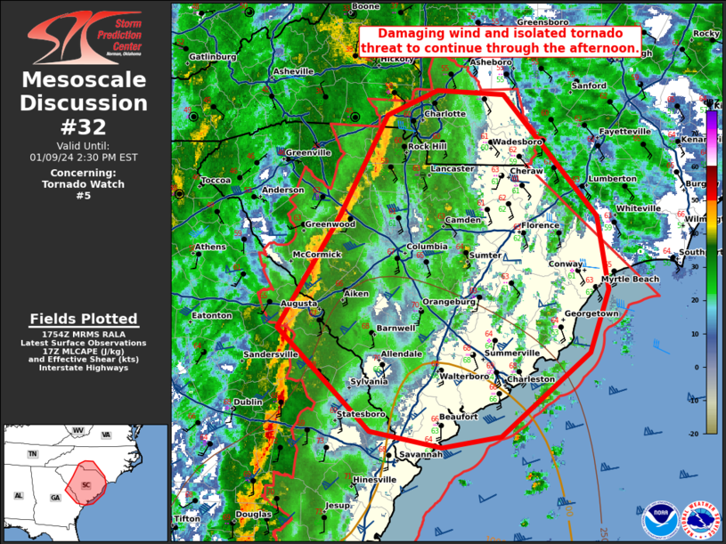
Storm Prediction Center Mesoscale Discussion 32
1 min read
|
|
 |
| Mesoscale Discussion 32 | |
| < Previous MD | |

|
|
   Mesoscale Discussion 0032
   NWS Storm Prediction Center Norman OK
   0330 PM CST Fri Jan 10 2025

   Areas affected...northern Georgia...eastern Tennessee...far western
   South Carolina...western North Carolina

   Concerning...Winter mixed precipitation

   Valid 102130Z - 110030Z

   SUMMARY...Areas of moderate to heavy snowfall along the high terrain
   and mixed precipitation likely in the afternoon/evening across
   portions of east TN/north GA and western SC/NC.

   DISCUSSION...A broad region of heavy precipitation continues to
   shift northward across northern Alabama into eastern
   Tennessee/northern Georgia beneath enhanced mid-level flow and
   forcing from an upper-level trough. This precipitation shield will
   continue to lift north and eastward this evening, bringing an
   increase in the precipitation rates across the region, extending
   into western North Carolina through time. Moderate to heavy snowfall
   will be possible (with occasional 1" hr rates) across the southern
   Appalachian Mountains in eastern Tennessee. Further south across
   northern Georgia into the western Carolinas, profiles will continue
   to support additional accumulations of freezing rain. NAM/RAP
   sounding analysis across northern Georgia into South Carolina show a
   warm nose at 850 mb with surface observations indicating
   temperatures remain in the upper 20s to 30s. Occasionally, mixed
   precipitation/sleet will be possible.

   ..Thornton.. 01/10/2025

   ...Please see www.spc.noaa.gov for graphic product...

   ATTN...WFO...GSP...MRX...FFC...BMX...

   LAT...LON   35038501 35278472 35438440 35708379 35938286 35778201
               35168155 34408234 34118328 33678477 34028542 34178549
               35038501
|
|
|
Top/All Mesoscale Discussions/Forecast Products/Home |
|
2025-01-10 21:32:03


