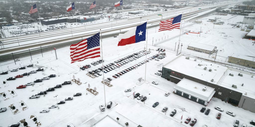
Winter Storm Watch issued as Texas to Southeast faces high-impact snow, ice threat
3 min read
Forecasters are closely monitoring the potential for another high-impact winter storm that’s expected to blast across the U.S. this week, just days after the first major winter storm of 2025 comes to an end.
DALLAS – Forecasters are closely monitoring the potential for another high-impact winter storm that’s expected to blast across the U.S. this week, just days after the first major winter storm of 2025 comes to an end.
The FOX Forecast Center said the incoming storm will likely impact cities farther south than the most recent storm, putting millions of people in cities such as Dallas, in Texas, Little Rock in Arkansas, Memphis and Nashville in Tennessee and Atlanta in Georgia on alert for winter weather.

(FOX Weather)
In fact, the first Winter Storm Watches have been issued in the southern Plains and lower Mississippi Valley and include the Dallas-Fort Worth Metroplex, southeastern Oklahoma, the Little Rock area and extreme northern Louisiana.
Texas Gov. Greg Abbott has already activated state emergency response resources ahead of the anticipated storm.
“The State of Texas is working around the clock to ensure Texans have the resources and support needed as severe winter weather impacts communities across Texas,” Abbot said in a statement. “As temperatures begin to drop below freezing and regions of Texas face snow, ice and freezing rain, it is crucial that everyone remain weather-aware.”
More than 700 Texas Department of Transportation crews prepared for winter weather by pre-treating roads, bridges and overpasses with more than 500,000 gallons of brine and approximately 800 cubic yards of granular material as temperatures dropped.
Potentially hazardous travel conditions are anticipated later this week as this new winter storm begins to ramp up.
In addition, city officials in Dallas plan on holding a news conference on Tuesday afternoon to discuss the upcoming storm and what the city is doing to prepare.

(FOX Weather)
Details are still uncertain, and the forecast could still see some changes, but the latest computer forecast models show snow breaking out on Wednesday across portions of New Mexico and Texas.
It’s expected to be light at first, but snow and freezing rain will expand and spread across West and North Texas into the Ark-La-Tex region on Thursday.
Significant impacts on travel are likely, including on interstates 35, 20 and 40.
Dallas, which only averages about 1.6 inches of snow each year, will likely see more than a year’s worth of snow from this system and could be facing its biggest snowstorm since 2010, according to the FOX Forecast Center.

(FOX weather)
Travel in cities to the south along Interstate 35, like Austin and San Antonio, may be dealing with freezing rain, which would make driving dangerous.
On Friday, the mix of snow and ice will spread into the Southeast, with cities like Memphis, Nashville and Knoxville in Tennessee looking at plowable snow, while cities like Birmingham, Alabama, and Atlanta flirting with both snow and a significant ice storm.
The forecast becomes even more uncertain as we head into the weekend.

(FOX weather)
The FOX Forecast Center said the system could remain weak and move to the east and into the Atlantic Ocean, while another scenario finds the storm strengthening as it reaches the East Coast.
If that occurs, the storm could move north and potentially bring substantial snow and wind to the Northeast.
Be sure to download the free FOX Weather app and enable notifications to be alerted to any changes in the forecast.
https://images.foxweather.com/static.foxweather.com/www.foxweather.com/content/uploads/2025/01/1024/512/gettyimages-1368456142-scaled.jpg?ve=1&tl=1
2025-01-07 11:54:30


