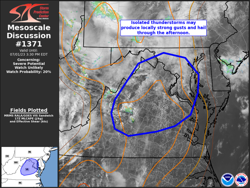
Storm Prediction Center Mesoscale Discussion 1371
1 min read
|
|
 |
| Mesoscale Discussion 1371 | |
| < Previous MD | |

|
|
   Mesoscale Discussion 1371
   NWS Storm Prediction Center Norman OK
   0341 PM CDT Thu Jun 19 2025

   Areas affected...eastern Montana and western North Dakota.

   Concerning...Severe potential...Watch possible

   Valid 192041Z - 192215Z

   Probability of Watch Issuance...40 percent

   SUMMARY...There is a conditional supercell threat across eastern
   Montana and western North Dakota with a threat for large hail and
   severe wind gusts.

   DISCUSSION...Strong heating across eastern Montana has resulted in a
   mostly uncapped airmass (according to SPC mesoanalysis) with 750 to
   1500 J/kg MLCAPE. It is unclear whether storms will form this
   afternoon, but deepening towering cumulus on visible satellite
   indicate one or two storms may form this afternoon or during the
   early evening hours, significantly earlier than indicated by CAM
   guidance. If storms form, strong 45-50 knot shear across the region
   should result in supercells with a threat for large hail. In
   addition, given the hot, deeply-mixed boundary layer, severe wind
   will also be a threat from this activity.

   Some weak support from a low-level jet across the northern Plains
   could maintain this threat during the evening, and perhaps through
   the overnight hours as it moves east across North Dakota.

   Satellite/radar trends will continue to be monitored, and if storm
   development appears imminent, a severe thunderstorm watch will be
   issued.

   ..Bentley/Hart.. 06/19/2025

   ...Please see www.spc.noaa.gov for graphic product...

   ATTN...WFO...BIS...BYZ...GGW...

   LAT...LON   47930537 47920320 47690224 46780253 46560322 46620429
               46810514 47020573 47200596 47610597 47820595 47930537

   MOST PROBABLE PEAK WIND GUST...65-80 MPH
   MOST PROBABLE PEAK HAIL SIZE...1.50-2.50 IN
|
|
|
Top/All Mesoscale Discussions/Forecast Products/Home |
|
2025-06-19 21:20:03


