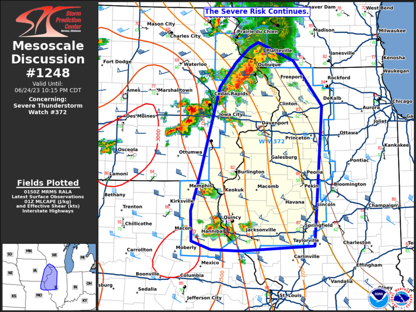
Storm Prediction Center Mesoscale Discussion 1248
1 min read
|
|
 |
| Mesoscale Discussion 1248 | |
| < Previous MD | |

|
|
Mesoscale Discussion 1248 NWS Storm Prediction Center Norman OK 1125 PM CDT Tue Jun 10 2025 Areas affected...parts of Deep South Texas Concerning...Severe Thunderstorm Watch 407... Valid 110425Z - 110530Z The severe weather threat for Severe Thunderstorm Watch 407 continues. SUMMARY...The risk for severe wind gusts may across and southwest through south of the Greater San Antonio vicinity through Midnight-1 AM CDT. DISCUSSION...Cold pool propagation into the I-35 corridor near and south of San Antonio has been at rather modest speeds of 20 kt or so, and peak 3-second gusts along the gust front have recently been measured around 40 kts. However, the most vigorous convection only slightly trails the gust front, and is becoming better organized, with a meso-beta scale cyclonic circulation now forming to the west of San Antonio. This may be accompanied by strengthening westerly rear inflow and downdrafts, aided by heavy precipitation loading, near and to the southwest through south of Greater San Antonio through 05-06Z. ..Kerr.. 06/11/2025 ...Please see www.spc.noaa.gov for graphic product... ATTN...WFO...CRP...EWX... LAT...LON 27820057 28659949 29999892 29929796 28079827 27130008 27120082 27820057 MOST PROBABLE PEAK WIND GUST...55-70 MPH MOST PROBABLE PEAK HAIL SIZE...UP TO 1.25 IN |
|
|
Top/All Mesoscale Discussions/Forecast Products/Home |
|
2025-06-11 04:39:05


