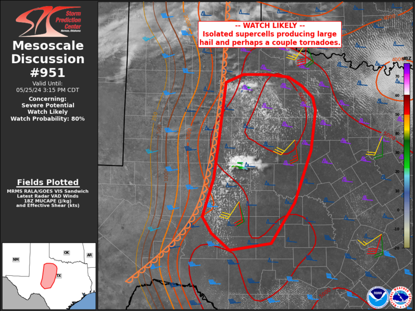
Storm Prediction Center Mesoscale Discussion 951
1 min read
|
|
 |
| Mesoscale Discussion 951 | |
| < Previous MD | |

|
|
Mesoscale Discussion 0951 NWS Storm Prediction Center Norman OK 1201 PM CDT Sat May 24 2025 Areas affected...The ArkLaTex and far southeast Oklahoma Concerning...Severe Thunderstorm Watch 316... Valid 241701Z - 241800Z The severe weather threat for Severe Thunderstorm Watch 316 continues. SUMMARY...The risk for damaging gusts continues across WW316. DISCUSSION...As of 17 UTC, regional radar analysis shows the ongoing MCS over southeast OK and the ArkLaTex continues. Some weakening has been noted with warming cloud tops and a general decrease in line reflectivity. However, the severe risk likely continues as a substantial cold pool and weak MCV have formed. As the density current continues to propagate along the northwest to southeast oriented baroclinic zone over the lower MS Valley, damaging gusts will remain possible. Occasional redevelopment along the southern-most portions of the cluster is expected as it propagate towards the more unstable air mass along the AR/LA border. Thus, the damaging wind risk will continue over portions of WW316. ..Lyons.. 05/24/2025 ...Please see www.spc.noaa.gov for graphic product... ATTN...WFO...MEG...JAN...LZK...SHV...TSA... LAT...LON 34089524 34059472 33849361 34329257 34869181 34879150 34549080 33689088 33099121 32979287 33069438 33659530 34089524 MOST PROBABLE PEAK TORNADO INTENSITY...UP TO 95 MPH MOST PROBABLE PEAK WIND GUST...55-70 MPH MOST PROBABLE PEAK HAIL SIZE...1.00-1.75 IN |
|
|
Top/All Mesoscale Discussions/Forecast Products/Home |
|
2025-05-24 17:08:02


