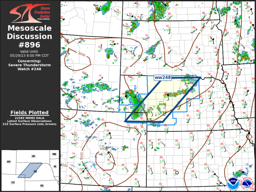
Storm Prediction Center Mesoscale Discussion 896
1 min read
|
|
 |
| Mesoscale Discussion 896 | |
| < Previous MD | |

|
|
   Mesoscale Discussion 0896
   NWS Storm Prediction Center Norman OK
   1119 PM CDT Mon May 19 2025

   Areas affected...Central and Eastern Kansas

   Concerning...Severe potential...Watch possible

   Valid 200419Z - 200645Z

   Probability of Watch Issuance...40 percent

   SUMMARY...The severe threat may increase across central and eastern
   Kansas over the next few hours. Large hail and isolated wind damage
   will be the primary threats.

   DISCUSSION...A couple areas of convection have intensified over the
   last hour or so along a corridor from Salina southward to Wichita.
   This convection is being supported by a shortwave trough moving
   through the central Plains, evident on water vapor imagery. Ahead of
   the storms, an unstable airmass is present over much of east-central
   and southeast Kansas. RAP forecast soundings near Emporia, Kansas
   late this evening have a low-level temperature inversion, with
   MUCAPE around 2000 J/kg, and effective shear of 50 to 55 knots. This
   environment should be favorable for large hail. In spite of the
   low-level temperature inversion, an isolated wind-damage threat may
   also develop with the faster and stronger downdrafts.

   ..Broyles/Gleason.. 05/20/2025

   ...Please see www.spc.noaa.gov for graphic product...

   ATTN...WFO...TOP...ICT...

   LAT...LON   38929790 38649819 38069828 37649809 37319766 37229662
               37309555 37809511 38489511 38959564 39099689 39029766
               38929790

   MOST PROBABLE PEAK TORNADO INTENSITY...UP TO 95 MPH
   MOST PROBABLE PEAK WIND GUST...55-70 MPH
   MOST PROBABLE PEAK HAIL SIZE...1.00-1.75 IN
|
|
|
Top/All Mesoscale Discussions/Forecast Products/Home |
|
2025-05-20 04:20:05


