
Storm Prediction Center Mesoscale Discussion 876
2 min read|
|
| Mesoscale Discussion 876 | |
| < Previous MD Next MD > | |
|
|
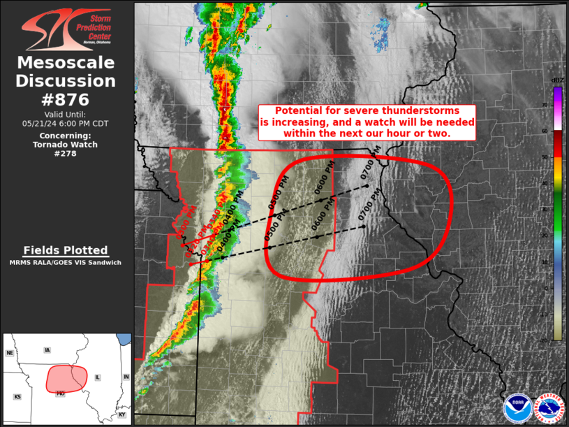
   Mesoscale Discussion 0876
   NWS Storm Prediction Center Norman OK
   1237 PM CDT Mon May 19 2025

   Areas affected...Eastern Nebraska

   Concerning...Severe potential...Watch possible

   Valid 191737Z - 191930Z

   Probability of Watch Issuance...60 percent

   SUMMARY...Thunderstorms developing across south-central Nebraska
   will likely intensify over the next few hours as they spread
   east/northeast into a destabilizing air mass. Watch issuance is
   possible.

   DISCUSSION...Shallow convection is beginning to deepen along a
   confluence axis to the north of a surface low along the NE/KS
   border. Early-morning cloud cover has delayed the onset of stronger
   diurnal warming, but clearing to the south of a diffuse warm frontal
   zone and ahead of a dryline is allowing temperatures to warm into
   the upper 70s and low 80s with MLCAPE quickly increasing to over
   2000 J/kg per recent RAP mesoanalysis estimates. Clearing ahead of
   the developing convection coupled with increasing broad-scale ascent
   should support further deepening/intensification over the next
   couple of hours, and strong flow within the exit region of a
   mid-level jet will provide sufficient deep-layer shear for organized
   convection, including a few splitting supercells. Large hail should
   be the primary hazard given elongated hodographs and the potential
   for cells to quickly migrate onto the cool, more stable side of the
   frontal zone, but cells that can mature across southeastern NE
   within the clearing warm sector may pose some tornado threat.
   Convective trends will continue to be monitored and watch issuance
   is possible by mid-afternoon.

   ..Moore/Hart.. 05/19/2025

   ...Please see www.spc.noaa.gov for graphic product...

   ATTN...WFO...FSD...OAX...GID...

   LAT...LON   40239835 40599851 40919862 41349855 41789825 42469755
               42589704 42379660 41939625 41459616 41039626 40609668
               40249720 40119750 40099796 40239835

   MOST PROBABLE PEAK TORNADO INTENSITY...85-115 MPH
   MOST PROBABLE PEAK WIND GUST...55-70 MPH
   MOST PROBABLE PEAK HAIL SIZE...1.50-2.50 IN
|
|
|
Top/All Mesoscale Discussions/Forecast Products/Home |
|
2025-05-19 17:55:03
