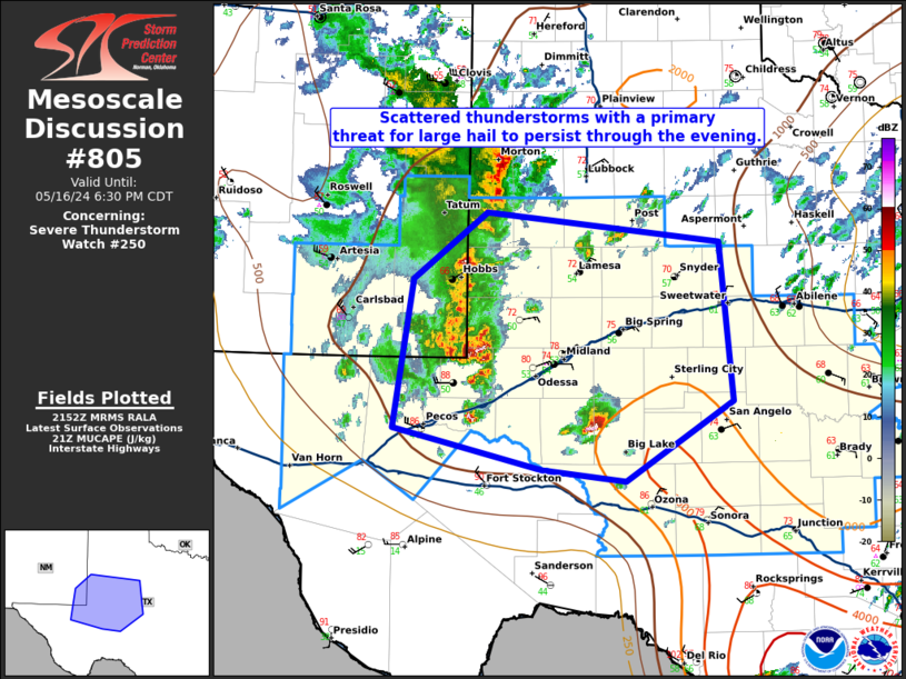
Storm Prediction Center Mesoscale Discussion 805
1 min read
|
|
 |
| Mesoscale Discussion 805 | |
| < Previous MD | |

|
|
Mesoscale Discussion 0805 NWS Storm Prediction Center Norman OK 0532 AM CDT Fri May 16 2025 Areas affected...north-central Arkansas into central Kentucky Concerning...Severe Thunderstorm Watch 259... Valid 161032Z - 161130Z The severe weather threat for Severe Thunderstorm Watch 259 continues. SUMMARY...Thunderstorms continue this morning across the region. The overall environment will support large hail and isolated severe wind with the strongest thunderstorms. Severe Thunderstorm Watch 259 continues. DISCUSSION...Several areas of thunderstorms developed this morning across Severe Thunderstorm Watch 259, and much of this activity continues. These thunderstorms are occurring along a slow moving cold front draped across Arkansas into and through Kentucky, aided by warm-air advection associated with the right entrance region of a midlevel jet/jet streak. Given most-unstable CAPE between 2000-4000 J/kg and effective bulk shear still above 60 knots, a large hail and damaging wind threat will persist through the morning. Thus, the severe threat will continue across Watch 259. After the last of the existing thunderstorms (currently over west-central Arkansas) move east out of the watch area, additional thunderstorms are expected later today. All severe hazards will be possible with these additional thunderstorms. ..Marsh.. 05/16/2025 ...Please see www.spc.noaa.gov for graphic product... ATTN...WFO...LMK...OHX...PAH...MEG...LSX...LZK...SGF... LAT...LON 36649267 38118628 36348628 34909268 36649267 MOST PROBABLE PEAK TORNADO INTENSITY...85-115 MPH MOST PROBABLE PEAK WIND GUST...55-70 MPH MOST PROBABLE PEAK HAIL SIZE...1.50-2.50 IN |
|
|
Top/All Mesoscale Discussions/Forecast Products/Home |
|
2025-05-16 11:02:04


