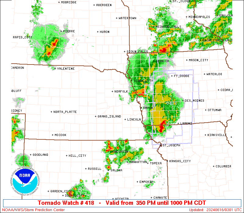
Storm Prediction Center Severe Thunderstorm Watch 418
4 min read
4 months ago
Note:
The expiration time in the watch graphic is amended if the watch is
replaced, cancelled or extended. Note: Click for Watch Status Reports.
   SEL8

   URGENT - IMMEDIATE BROADCAST REQUESTED
   Severe Thunderstorm Watch Number 418
   NWS Storm Prediction Center Norman OK
   215 PM MDT Sun Jun 15 2025

   The NWS Storm Prediction Center has issued a

   * Severe Thunderstorm Watch for portions of
     Central and eastern Montana
     North central Wyoming

   * Effective this Sunday afternoon and evening from 215 PM until
     1100 PM MDT.

   * Primary threats include...
     Scattered damaging winds and isolated significant gusts to 80
       mph likely
     Scattered large hail and isolated very large hail events to 3
       inches in diameter likely
     A tornado or two possible

   SUMMARY...Thunderstorms are expected to increase in coverage and
   intensity through the afternoon while spreading eastward from the
   higher terrain.  The storm environment initially favors supercells
   with very large hail (2-3 inch diameter), while upscale growth into
   clusters is expected this evening with an increasing threat for
   60-80 mph outflow winds.  Favorable storm interactions could also
   support an isolated tornado or two this evening.

   The severe thunderstorm watch area is approximately along and 100
   statute miles north and south of a line from 30 miles west of
   Harlowton MT to 10 miles east northeast of Baker MT. For a complete
   depiction of the watch see the associated watch outline update
   (WOUS64 KWNS WOU8).

   PRECAUTIONARY/PREPAREDNESS ACTIONS...

   REMEMBER...A Severe Thunderstorm Watch means conditions are
   favorable for severe thunderstorms in and close to the watch area.
   Persons in these areas should be on the lookout for threatening
   weather conditions and listen for later statements and possible
   warnings. Severe thunderstorms can and occasionally do produce
   tornadoes.

   &&

   AVIATION...A few severe thunderstorms with hail surface and aloft to
   3 inches. Extreme turbulence and surface wind gusts to 70 knots. A
   few cumulonimbi with maximum tops to 550. Mean storm motion vector
   27020.

   ...Thompson
Note:
The Aviation Watch (SAW) product is an approximation to the watch area.
The actual watch is depicted by the shaded areas.
   SAW8
   WW 418 SEVERE TSTM MT WY 152015Z - 160500Z
   AXIS..100 STATUTE MILES NORTH AND SOUTH OF LINE..
   30W 3HT/HARLOWTON MT/ - 10ENE BHK/BAKER MT/
   ..AVIATION COORDS.. 85NM N/S /51SW LWT - 59WSW DIK/
   HAIL SURFACE AND ALOFT..3 INCHES. WIND GUSTS..70 KNOTS.
   MAX TOPS TO 550. MEAN STORM MOTION VECTOR 27020.

   LAT...LON 47881046 47860406 44970406 44981046

   THIS IS AN APPROXIMATION TO THE WATCH AREA.  FOR A
   COMPLETE DEPICTION OF THE WATCH SEE WOUS64 KWNS
   FOR WOU8.
Watch 418 Status Report Messages:
STATUS REPORT #1 ON WW 418

VALID 152200Z - 152340Z

THE SEVERE WEATHER THREAT CONTINUES ACROSS THE ENTIRE WATCH AREA.

..MARSH..06/15/25

ATTN...WFO...BYZ...GGW...TFX...

&&

STATUS REPORT FOR WS 418

SEVERE WEATHER THREAT CONTINUES FOR THE FOLLOWING AREAS

MTC003-011-017-021-025-027-033-037-045-055-065-069-075-079-083-
087-095-097-103-107-109-111-152340-

MT
.    MONTANA COUNTIES INCLUDED ARE

BIG HORN	     CARTER		 CUSTER
DAWSON		     FALLON		 FERGUS
GARFIELD	     GOLDEN VALLEY	 JUDITH BASIN
MCCONE		     MUSSELSHELL	 PETROLEUM
POWDER RIVER	     PRAIRIE		 RICHLAND
ROSEBUD 	     STILLWATER 	 SWEET GRASS
TREASURE	     WHEATLAND		 WIBAUX
YELLOWSTONE
$$


WYC033-152340-

WY
.    WYOMING COUNTIES INCLUDED ARE

SHERIDAN
$$


THE WATCH STATUS MESSAGE IS FOR GUIDANCE PURPOSES ONLY.  PLEASE
REFER TO WATCH COUNTY NOTIFICATION STATEMENTS FOR OFFICIAL
INFORMATION ON COUNTIES...INDEPENDENT CITIES AND MARINE ZONES
CLEARED FROM SEVERE THUNDERSTORM AND TORNADO WATCHES.
$$
Probability of 1 or more strong (EF2-EF5) tornadoes
Low (5%)
Wind
Probability of 10 or more severe wind events
Mod (60%)
Probability of 1 or more wind events > 65 knots
Mod (60%)
Hail
Probability of 10 or more severe hail events
Mod (60%)
Probability of 1 or more hailstones > 2 inches
Mod (60%)
Combined Severe Hail/Wind
Probability of 6 or more combined severe hail/wind events
High (>95%)
For each watch, probabilities for particular events inside the watch
(listed above in each table) are determined by the issuing forecaster.
The “Low” category contains probability values ranging from less than 2%
to 20% (EF2-EF5 tornadoes), less than 5% to 20% (all other probabilities),
“Moderate” from 30% to 60%, and “High” from 70% to greater than 95%.
High values are bolded and lighter in color to provide awareness of
an increased threat for a particular event.