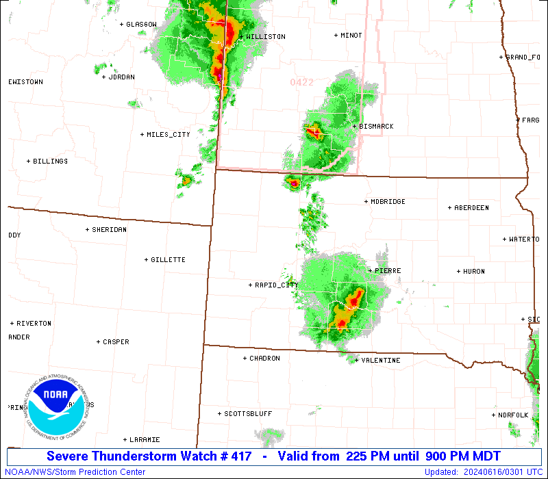
Storm Prediction Center Severe Thunderstorm Watch 417
4 min read
4 months ago
Note:
The expiration time in the watch graphic is amended if the watch is
replaced, cancelled or extended. Note: Click for Watch Status Reports.
   SEL7

   URGENT - IMMEDIATE BROADCAST REQUESTED
   Severe Thunderstorm Watch Number 417
   NWS Storm Prediction Center Norman OK
   1010 PM CDT Sat Jun 14 2025

   The NWS Storm Prediction Center has issued a

   * Severe Thunderstorm Watch for portions of
     Western into Central and Northeast Oklahoma

   * Effective this Saturday night and Sunday morning from 1010 PM
     until 600 AM CDT.

   * Primary threats include...
     Scattered damaging winds and isolated significant gusts to 75
       mph possible
     Scattered large hail and isolated very large hail events to 2
       inches in diameter possible

   SUMMARY...A few strong to severe thunderstorm clusters are forecast
   to develop and persist into the overnight across the northern half
   of the Watch.  Large hail and severe gusts will be the primary
   hazards.  A consolidation of thunderstorm outflow and thunderstorms
   merging into a larger cluster may occur tonight and move generally
   south.  Severe gusts may become the primary hazard during this
   evolution, but isolated large hail could accompany the more intense
   thunderstorm cores.

   The severe thunderstorm watch area is approximately along and 65
   statute miles north and south of a line from 40 miles north
   northeast of Muskogee OK to 25 miles north northwest of Clinton OK.
   For a complete depiction of the watch see the associated watch
   outline update (WOUS64 KWNS WOU7).

   PRECAUTIONARY/PREPAREDNESS ACTIONS...

   REMEMBER...A Severe Thunderstorm Watch means conditions are
   favorable for severe thunderstorms in and close to the watch area.
   Persons in these areas should be on the lookout for threatening
   weather conditions and listen for later statements and possible
   warnings. Severe thunderstorms can and occasionally do produce
   tornadoes.

   &&

   OTHER WATCH INFORMATION...CONTINUE...WW 415...WW 416...

   AVIATION...A few severe thunderstorms with hail surface and aloft to
   2 inches. Extreme turbulence and surface wind gusts to 65 knots. A
   few cumulonimbi with maximum tops to 600. Mean storm motion vector
   32020.

   ...Smith
Note:
The Aviation Watch (SAW) product is an approximation to the watch area.
The actual watch is depicted by the shaded areas.
   SAW7
   WW 417 SEVERE TSTM OK 150310Z - 151100Z
   AXIS..65 STATUTE MILES NORTH AND SOUTH OF LINE..
   40NNE MKO/MUSKOGEE OK/ - 25NNW CSM/CLINTON OK/
   ..AVIATION COORDS.. 55NM N/S /34E TUL - 48SSE MMB/
   HAIL SURFACE AND ALOFT..2 INCHES. WIND GUSTS..65 KNOTS.
   MAX TOPS TO 600. MEAN STORM MOTION VECTOR 32020.

   LAT...LON 35259510 34729937 36599937 37159510

   THIS IS AN APPROXIMATION TO THE WATCH AREA.  FOR A
   COMPLETE DEPICTION OF THE WATCH SEE WOUS64 KWNS
   FOR WOU7.
Watch 417 Status Report Message has not been issued yet.
Probability of 1 or more strong (EF2-EF5) tornadoes
Low (<2%)
Wind
Probability of 10 or more severe wind events
Mod (40%)
Probability of 1 or more wind events > 65 knots
Mod (30%)
Hail
Probability of 10 or more severe hail events
Mod (40%)
Probability of 1 or more hailstones > 2 inches
Mod (30%)
Combined Severe Hail/Wind
Probability of 6 or more combined severe hail/wind events
High (70%)
For each watch, probabilities for particular events inside the watch
(listed above in each table) are determined by the issuing forecaster.
The “Low” category contains probability values ranging from less than 2%
to 20% (EF2-EF5 tornadoes), less than 5% to 20% (all other probabilities),
“Moderate” from 30% to 60%, and “High” from 70% to greater than 95%.
High values are bolded and lighter in color to provide awareness of
an increased threat for a particular event.