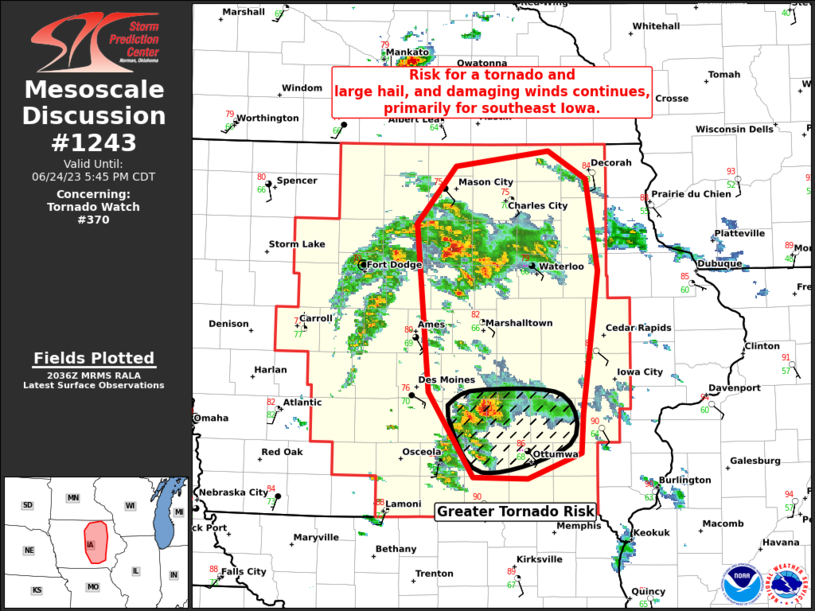
Storm Prediction Center Mesoscale Discussion 1243
1 min read
|
|
 |
| Mesoscale Discussion 1243 | |
| < Previous MD | |

|
|
   Mesoscale Discussion 1243
   NWS Storm Prediction Center Norman OK
   0350 PM CDT Tue Jun 10 2025

   Areas affected...Far Northern CA...Southern/Eastern OR

   Concerning...Severe potential...Watch unlikely

   Valid 102050Z - 102315Z

   Probability of Watch Issuance...20 percent

   SUMMARY...Isolated hail and/or damaging gusts are possible from far
   northern CA into southern and eastern OR this afternoon and evening.

   DISCUSSION...Visible satellite imagery shows increasing coverage of
   deep cumulus across the higher terrain of far northeast CA and
   south-central OR, with several instances of convective initiation.
   Some additional increase in storm coverage is anticipated as
   southwesterly flow and large-scale ascent gradually strengthen.
   Isolated hail could occur with this early-stage cellular convection.
   A deeply mixed airmass exists downstream, and the general
   expectation is for damaging gusts as the storms become more outflow
   dominant as they move off the terrain over the next few hours.

   ..Mosier.. 06/10/2025

   ...Please see www.spc.noaa.gov for graphic product...

   ATTN...WFO...BOI...PDT...MFR...

   LAT...LON   42622245 43612157 44082064 44282009 44661863 44801751
               44471689 44041688 43591708 42971771 42052005 41502187
               42622245

   MOST PROBABLE PEAK WIND GUST...UP TO 60 MPH
   MOST PROBABLE PEAK HAIL SIZE...UP TO 1.25 IN
|
|
|
Top/All Mesoscale Discussions/Forecast Products/Home |
|
2025-06-10 21:17:03


