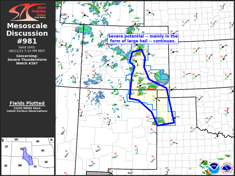
Storm Prediction Center Mesoscale Discussion 981
1 min read
|
|
 |
| Mesoscale Discussion 981 | |
| < Previous MD Next MD > | |

|
|
Mesoscale Discussion 0981 NWS Storm Prediction Center Norman OK 0832 PM CDT Sun May 25 2025 Areas affected...eastern New Mexico and the Oklahoma/Texas Panhandle Concerning...Severe Thunderstorm Watch 326... Valid 260132Z - 260330Z The severe weather threat for Severe Thunderstorm Watch 326 continues. SUMMARY...Severe threat continues within WW326. DISCUSSION...Supercell clusters and multi-cell clusters continue to move across the Texas Panhandle, with additional development beginning to occur as a wave shifts eastward out of New Mexico. Gusts up to 80 mph were reported with the storms in Lamb County Texas earlier. Further east, hail up to 1-1.5 was reported in Briscoe County Texas. Though the storm mode is become less discrete through time, storms continue to be in a favorable environment for large to very large hail and damaging winds. This threat will continue through the next few hours with increasing storm coverage. ..Thornton.. 05/26/2025 ...Please see www.spc.noaa.gov for graphic product... ATTN...WFO...LUB...AMA...ABQ... LAT...LON 34890134 34670183 34250205 33960230 33940282 34080307 34400317 34670327 35020335 35440336 36110338 36550331 36660306 36840256 36950139 36840068 36370031 35890042 35310069 34950122 34890134 MOST PROBABLE PEAK TORNADO INTENSITY...85-115 MPH MOST PROBABLE PEAK WIND GUST...65-80 MPH MOST PROBABLE PEAK HAIL SIZE...1.50-2.50 IN |
|
|
Top/All Mesoscale Discussions/Forecast Products/Home |
|
2025-05-26 03:06:02


