
Storm Prediction Center Mesoscale Discussion 892
1 min read|
|
| Mesoscale Discussion 892 | |
| < Previous MD Next MD > | |
|
|
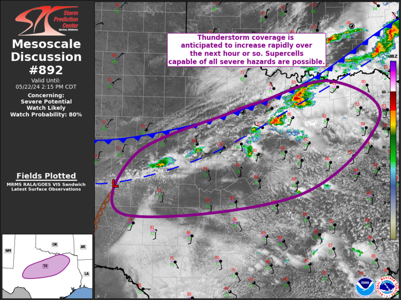
Mesoscale Discussion 0892 NWS Storm Prediction Center Norman OK 0742 PM CDT Mon May 19 2025 Areas affected...Parts of north-central Texas Concerning...Tornado Watch 295... Valid 200042Z - 200215Z The severe weather threat for Tornado Watch 295 continues. SUMMARY...Risk of large hail and severe wind gusts continues, with embedded tornadoes also possible. A local time extension of Tornado Watch 295 may be needed, depending on storm evolution over the next hour. DISCUSSION...At the tail-end of a continuous convective line extending from southeast/south-central OK into north-central TX, a couple embedded supercells are impinging on an air mass characterized by 3200 J/kg MLCAPE (sampled by FWD 00Z sounding) and 300 m2/s2 0-1km SRH (per FWS VWP). With mostly line-parallel deep-layer shear, a mostly linear mode with embedded supercells should continue. Severe wind gusts and large hail are the main concerns, though the aforementioned streamwise vorticity amid any deep/embedded rotating cores will still support a tornado risk for a couple more hours. A local time extension of Tornado Watch 295 may be needed -- depending on storm evolution over the next hour. ..Weinman.. 05/20/2025 ...Please see www.spc.noaa.gov for graphic product... ATTN...WFO...FWD...OUN... LAT...LON 33449765 33849731 34149653 34109607 33869589 33549598 33149683 33099732 33219765 33449765 MOST PROBABLE PEAK TORNADO INTENSITY...100-130 MPH MOST PROBABLE PEAK WIND GUST...65-80 MPH MOST PROBABLE PEAK HAIL SIZE...2.00-3.50 IN |
|
|
Top/All Mesoscale Discussions/Forecast Products/Home |
|
2025-05-20 01:15:03
