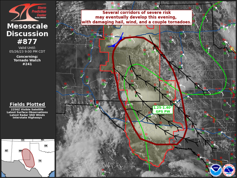
Storm Prediction Center Mesoscale Discussion 877
2 min read
|
|
 |
| Mesoscale Discussion 877 | |
| < Previous MD Next MD > | |

|
|
Mesoscale Discussion 0877 NWS Storm Prediction Center Norman OK 1250 PM CDT Mon May 19 2025 Areas affected...Eastern Kansas into far eastern Missouri Concerning...Severe potential...Watch likely Valid 191750Z - 191945Z Probability of Watch Issuance...80 percent SUMMARY...Thunderstorm development along and ahead of the dryline is anticipated by mid-afternoon across eastern Kansas. Thunderstorms will quickly become severe given a very unstable and strongly sheared environment as they spread east into Missouri. Additional thunderstorms moving out of northeast Oklahoma will pose a severe threat for southwest Missouri in the coming hours. Watch issuance is likely. DISCUSSION...GOES imagery shows slowly clearing skies and the gradual decay of stable waves across eastern KS, indicating steady erosion of MLCIN that was sampled in the 12 UTC TOP sounding. Modifying this sounding based on current temperatures/dewpoints within the clearing warm sector suggests only around -50 J/kg MLCIN remains, with further reduction expected as daytime heating continues and large-scale ascent overspreads the region with the arrival of the upper-level trough from the west. Recent HRRR solutions hint that thunderstorm development along and ahead of the dryline is likely between 19-21 UTC, but temperatures are currently a few degrees warmer than what guidance depicts, suggesting an earlier initiation time is possible. Highly unstable conditions (MLCAPE over 3000 J/kg) and strong deep-layer shear associated with the mid-level jet streak (0-6 km shear on the order of 50-60 knots) will promote rapid storm intensification and organization into supercells with all hazards possible, including very large hail (2-3 inches in diameter), and potentially strong tornadoes. Additionally, strong/severe thunderstorms ongoing across eastern OK are expected to spread northeast into southwest MO by mid-afternoon. A favorable convective environment already in place across western MO will maintain the severe threat. Watch issuance is expected as soon as thunderstorm development is imminent and/or as convection approaches the northeast edge of WW 292. ..Moore/Hart.. 05/19/2025 ...Please see www.spc.noaa.gov for graphic product... ATTN...WFO...SGF...EAX...TSA...OAX...TOP...ICT...OUN... LAT...LON 37089714 37379723 39739714 39939708 40069683 40139525 40099496 39969473 39739457 37649375 37309370 36949386 36839417 36909469 36959687 37089714 MOST PROBABLE PEAK TORNADO INTENSITY...120-150 MPH MOST PROBABLE PEAK WIND GUST...75-90 MPH MOST PROBABLE PEAK HAIL SIZE...2.00-3.50 IN |
|
|
Top/All Mesoscale Discussions/Forecast Products/Home |
|
2025-05-19 18:22:04


