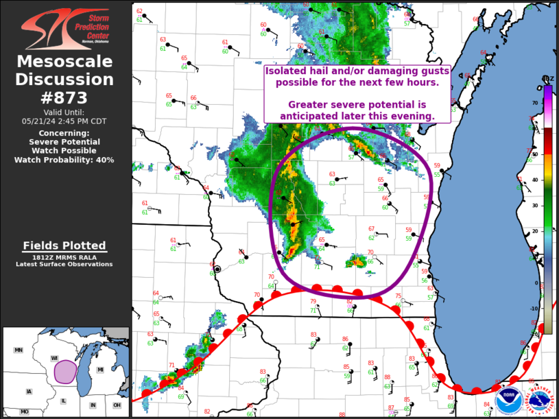
Storm Prediction Center Mesoscale Discussion 873
1 min read
|
|
 |
| Mesoscale Discussion 873 | |
| < Previous MD | |

|
|
   Mesoscale Discussion 0873
   NWS Storm Prediction Center Norman OK
   1153 PM CDT Sun May 18 2025

   Areas affected...Northern Mississippi...Northwest Alabama

   Concerning...Severe potential...Watch unlikely

   Valid 190453Z - 190730Z

   Probability of Watch Issuance...20 percent

   SUMMARY...A potential for severe gusts and hail will continue over
   the next couple of hours across northeast Mississippi and northwest
   Alabama. The threat will likely remain isolated, and watch issuance
   is not expected.

   DISCUSSION...The latest radar imagery shows a small cluster of
   strong to severe storms over northeastern Mississippi. This activity
   is located just to the north of a pocket of moderate instability,
   where MLCAPE is estimated by the RAP in the 2000 to 2500 J/kg range.
   The storms are being supported by large-scale ascent associated with
   a subtle shortwave trough, and by warm advection. The RAP also has
   moderate deep-layer shear, which is sampled by the GWX WSR-88D VWP
   in northeast Mississippi. The environment will support isolated
   severe wind gusts and hail. However, the severe threat is expected
   to remain too isolated for weather watch issuance.

   ..Broyles/Gleason.. 05/19/2025

   ...Please see www.spc.noaa.gov for graphic product...

   ATTN...WFO...BMX...HUN...MEG...JAN...

   LAT...LON   33878774 33798884 33828932 34068978 34349002 34738997
               34938960 34988897 34928750 34678686 34138699 33878774

   MOST PROBABLE PEAK WIND GUST...55-70 MPH
   MOST PROBABLE PEAK HAIL SIZE...UP TO 1.25 IN
|
|
|
Top/All Mesoscale Discussions/Forecast Products/Home |
|
2025-05-19 05:02:03


