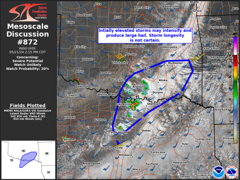
Storm Prediction Center Mesoscale Discussion 872
2 min read
|
|
 |
| Mesoscale Discussion 872 | |
| < Previous MD Next MD > | |

|
|
Mesoscale Discussion 0872 NWS Storm Prediction Center Norman OK 1141 PM CDT Sun May 18 2025 Areas affected...South-central Kansas Concerning...Tornado Watch 291... Valid 190441Z - 190645Z The severe weather threat for Tornado Watch 291 continues. SUMMARY...A tornado threat will continue across parts of south-central Kansas over the next couple of hours. A strong tornado will be likely, and an EF3+ tornado could occur. DISCUSSION...An intense tornadic supercell is ongoing about 50 statute miles to the west-northwest of Wichita, KS. This storm is located just to the east of an axis of moderate instability, where the RAP is analyzing MLCAPE in the 3000 to 4000 J/kg range. This supercell is also located just to the southwest of the center of a 50 to 60 knot low-level jet. The low-level jet is creating very strong low-level shear, which is being sampled by the WSR-88D VWP at Wichita. This is creating a long looped hodograph and 0-3 km storm-relative helicity of near 650 m2/s2. This environment will be favorable for tornadoes, and a EF3+ tornado will be possible. In addition to the tornado threat, forecast soundings have 700-500 mb lapse rates near 8 C/km, which will be favorable for large hail. Hailstones of greater than 2 inches in diameter may also accompany the more intense cores. ..Broyles/Gleason.. 05/19/2025 ...Please see www.spc.noaa.gov for graphic product... ATTN...WFO...ICT...DDC... LAT...LON 38329826 38309779 38109763 37869764 37739790 37679830 37729861 37959874 38239855 38329826 MOST PROBABLE PEAK TORNADO INTENSITY...155-190 MPH MOST PROBABLE PEAK WIND GUST...55-70 MPH MOST PROBABLE PEAK HAIL SIZE...1.50-2.50 IN |
|
|
Top/All Mesoscale Discussions/Forecast Products/Home |
|
2025-05-19 05:02:03


