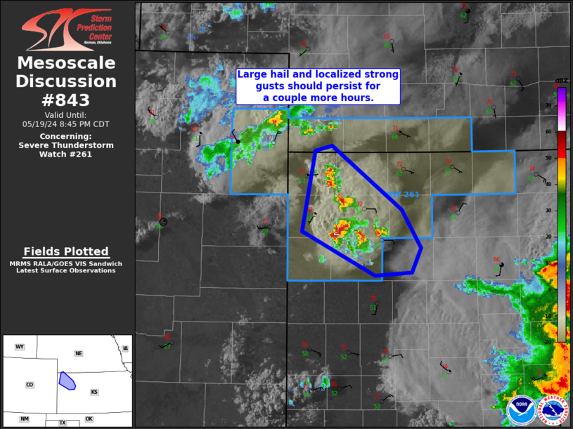
Storm Prediction Center Mesoscale Discussion 843
1 min read
|
|
 |
| Mesoscale Discussion 843 | |
| < Previous MD | |

|
|
Mesoscale Discussion 0843 NWS Storm Prediction Center Norman OK 0435 PM CDT Sat May 17 2025 Areas affected...Central Oklahoma Concerning...Tornado Watch 279... Valid 172135Z - 172300Z The severe weather threat for Tornado Watch 279 continues. SUMMARY...The severe threat for WW 279 is increasing, with an isolated supercell thunderstorm ongoing across central Oklahoma. All hazards are anticipated, including hail larger than 2.00", 65-80 MPH winds, and tornadoes. DISCUSSION...Recent radar imagery shows an ongoing supercell thunderstorm that is undergoing an updraft split. 20Z OUN sounding data and KTLX VAD data show very strong low-level shear and streamwise vorticity that will favor the right split and an eastward storm motion along the warm front, resulting in increased tornado potential this afternoon into the evening. A strong tornado is possible with the right splitting supercell as it approaches and crosses the I-35 corridor in the next 1-2 hours. Echo tops on the right-split of the supercell have increased to 55 kft, suggesting rapid updraft intensification. Any additional thunderstorms that develop and interact with the warm front will be capable of all hazards. ..Halbert.. 05/17/2025 ...Please see www.spc.noaa.gov for graphic product... ATTN...WFO...TSA...OUN... LAT...LON 34389875 34659956 34919988 35359994 35589951 35769911 35659756 35549688 35279585 34909543 34499561 34259620 34239737 34389875 MOST PROBABLE PEAK TORNADO INTENSITY...120-150 MPH MOST PROBABLE PEAK WIND GUST...65-80 MPH MOST PROBABLE PEAK HAIL SIZE...2.00-3.50 IN |
|
|
Top/All Mesoscale Discussions/Forecast Products/Home |
|
2025-05-17 21:41:02


