
Storm Prediction Center Mesoscale Discussion 827
1 min read|
|
| Mesoscale Discussion 827 | |
| < Previous MD Next MD > | |
|
|
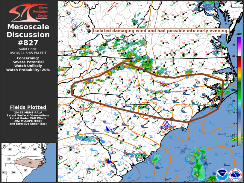
   Mesoscale Discussion 0827
   NWS Storm Prediction Center Norman OK
   0723 PM CDT Fri May 16 2025

   Areas affected...portions of the Great Lakes

   Concerning...Severe potential...Watch unlikely

   Valid 170023Z - 170230Z

   Probability of Watch Issuance...20 percent

   SUMMARY...Some instances of severe hail and wind possible with
   thunderstorms activity this evening.

   DISCUSSION...Thunderstorm activity is ongoing across portions of far
   southeastern WI/northeastern IL and into portions of lower Michigan.
   Within this region, a plume of steep low to mid-level lapse rates is
   in place amid MLCAPE around 500 J/kg. Deep layer shear is strongest
   across the southern Michigan peninsula, where 0-6 km shear around
   40-50kts is in place. This environment will support a few instances
   of severe hail and wind. It is unlikely a watch will be needed at
   this time due to generally weak instability and loss of daytime
   heating.

   ..Thornton/Gleason.. 05/17/2025

   ...Please see www.spc.noaa.gov for graphic product...

   ATTN...WFO...DTX...APX...IWX...GRR...LOT...MKX...

   LAT...LON   42598458 41658732 42328780 43008791 43528790 44018755
               44948595 45058587 45358483 45198421 44568376 44068359
               43508370 42938413 42598458

   MOST PROBABLE PEAK WIND GUST...55-70 MPH
   MOST PROBABLE PEAK HAIL SIZE...1.00-1.75 IN
|
|
|
Top/All Mesoscale Discussions/Forecast Products/Home |
|
2025-05-17 01:55:08
