Storm Prediction Center Mesoscale Discussion 824
1 min read
|
|
 |
| Mesoscale Discussion 824 | |
| < Previous MD | |

|
|
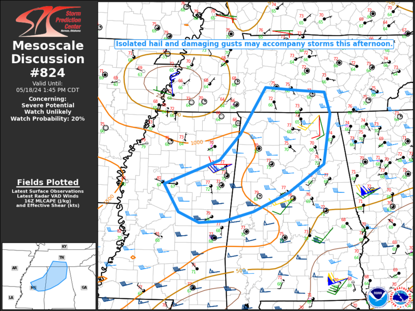
Mesoscale Discussion 0824 NWS Storm Prediction Center Norman OK 0553 PM CDT Fri May 16 2025 Areas affected...Far southeast Virginia and eastern North Carolina Concerning...Severe Thunderstorm Watch 264... Valid 162253Z - 170030Z The severe weather threat for Severe Thunderstorm Watch 264 continues. SUMMARY...Severe thunderstorms capable of damaging winds and hail will continue into the evening, before gradually dissipating and moving offshore into the Atlantic. DISCUSSION...Scattered severe thunderstorms are ongoing across portions of far southeastern Virginia into eastern North Carolina, capable of damaging straight-line winds and large hail. Recent radar scans from Wakefield, VA show 60-65 kts at 600-700 ft ARL, primarily along the leading edge of the convection. Warn on Forecast guidance also indicates this convection will persist into the evening, with some locally higher probabilities of 50+ kt winds before dissipating and moving offshore. ..Halbert.. 05/16/2025 ...Please see www.spc.noaa.gov for graphic product... ATTN...WFO...AKQ...MHX...RAH... LAT...LON 36007731 36197778 36247790 36327794 36427789 36537777 36807744 37057725 37167716 37267709 37337706 37317695 37167660 37037630 36717588 36297569 35967560 35797663 36007731 MOST PROBABLE PEAK TORNADO INTENSITY...UP TO 95 MPH MOST PROBABLE PEAK WIND GUST...55-70 MPH MOST PROBABLE PEAK HAIL SIZE...1.00-1.75 IN |
|
|
Top/All Mesoscale Discussions/Forecast Products/Home |
|
2025-05-16 22:56:05


