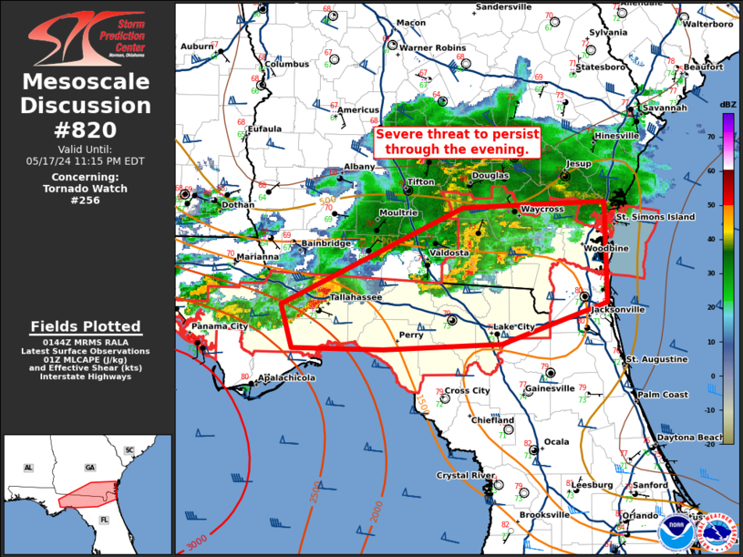
Storm Prediction Center Mesoscale Discussion 820
1 min read
|
|
 |
| Mesoscale Discussion 820 | |
| < Previous MD | |

|
|
Mesoscale Discussion 0820 NWS Storm Prediction Center Norman OK 0314 PM CDT Fri May 16 2025 Areas affected...western/central PA to northern VA Concerning...Severe Thunderstorm Watch 263... Valid 162014Z - 162215Z The severe weather threat for Severe Thunderstorm Watch 263 continues. SUMMARY...A mix of damaging winds and severe hail remains possible through early evening from western to central Pennsylvania southward into northern Virginia. A corridor of greater damaging wind potential is apparent in central Maryland, the District of Columbia, and far northern Virginia. DISCUSSION...Thunderstorm coverage has steadily increased ahead of a minor MCV, and separately along a wavy outflow boundary. Measured strong to severe wind gusts have occurred along the outflow associated with the MCV. Very strong mid-level winds persist in the wake of this MCV, as sampled by recent RLX VWP data. With surface temperatures in the mid to upper 80s ahead of this outflow, yielding peak MLCAPE of 2000-2500 J/kg, damaging wind swaths are most probable into central MD to far northern VA. Farther north, convection has largely struggled, outside of a slow-moving supercell along the separate outflow boundary in south-central PA. Mixed severe hail and damaging wind will remain possible here, amid weak low-level shear/SRH. ..Grams.. 05/16/2025 ...Please see www.spc.noaa.gov for graphic product... ATTN...WFO...PHI...AKQ...CTP...LWX...PBZ... LAT...LON 41077947 41107851 41097790 40777722 39657638 38947630 38457635 38177670 38587811 39107820 39617826 40137886 40727947 41077947 MOST PROBABLE PEAK TORNADO INTENSITY...UP TO 95 MPH MOST PROBABLE PEAK WIND GUST...55-70 MPH MOST PROBABLE PEAK HAIL SIZE...UP TO 1.25 IN |
|
|
Top/All Mesoscale Discussions/Forecast Products/Home |
|
2025-05-16 20:37:03


