
Storm Prediction Center Mesoscale Discussion 808
2 min read|
|
| Mesoscale Discussion 808 | |
| < Previous MD Next MD > | |
|
|
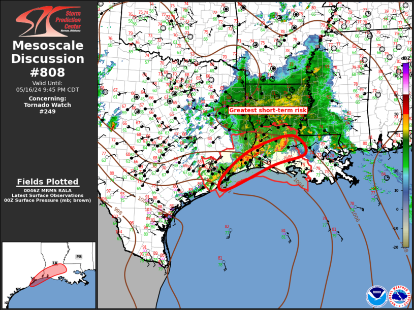
   Mesoscale Discussion 0808
   NWS Storm Prediction Center Norman OK
   0846 AM CDT Fri May 16 2025

   Areas affected...the Lower Mid-Atlantic States

   Concerning...Severe potential...Severe Thunderstorm Watch likely

   Valid 161346Z - 161545Z

   Probability of Watch Issuance...80 percent

   SUMMARY...A few supercells could develop before midday across parts
   of the Lower Mid-Atlantic region. Large hail and damaging winds
   should be the primary hazards into early afternoon.

   DISCUSSION...An arcing band of convective development is underway
   south of a morning MCS across over central/eastern PA. This arc
   extends southward through central MD towards the DC metro vicinity.
   12Z WAL to PIT soundings sampled a favorable environment for
   supercells with 40-50 kt effective bulk shear, largely driven by
   speed change with height amid unidirectional west-northwesterlies.
   This was coupled with moderate mid-level lapse rates of 6.5 to 7
   C/km. 12Z HRRR and 00Z HREF guidance have a signal for longer-track
   2-5 km UH, with potential for a few supercells. Given the
   orientation of the convective development, this seems probable
   across parts of eastern MD, DE, and far southern NJ. Pronounced
   surface heating in this area, south of persistent cloudiness farther
   north, will aid in further destabilization and increase the risk for
   both large hail and damaging winds by midday.

   ..Grams/Mosier.. 05/16/2025

   ...Please see www.spc.noaa.gov for graphic product...

   ATTN...WFO...PHI...AKQ...CTP...LWX...

   LAT...LON   40727641 40517541 39887448 39177448 38267486 38037544
               38087591 38427700 38917704 39777645 40277652 40727641

   MOST PROBABLE PEAK TORNADO INTENSITY...UP TO 95 MPH
   MOST PROBABLE PEAK WIND GUST...55-70 MPH
   MOST PROBABLE PEAK HAIL SIZE...1.50-2.50 IN
|
|
|
Top/All Mesoscale Discussions/Forecast Products/Home |
|
2025-05-16 14:28:07
