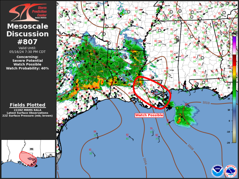
Storm Prediction Center Mesoscale Discussion 807
1 min read
|
|
 |
| Mesoscale Discussion 807 | |
| < Previous MD | |

|
|
Mesoscale Discussion 0807 NWS Storm Prediction Center Norman OK 0740 AM CDT Fri May 16 2025 Areas affected...northeast AR into central KY Concerning...Severe Thunderstorm Watch 259... Valid 161240Z - 161445Z The severe weather threat for Severe Thunderstorm Watch 259 continues. SUMMARY...Thunderstorm cluster may continue to pose a risk for hail and sporadic strong gusts this morning. Local watch extension may be needed for portions of Severe Thunderstorm Watch 259. DISCUSSION...Strong to severe thunderstorms continue from northeast AR into central KY this morning. While previously a new watch was considered, given some weakening in the clusters across central KY, local watch extensions may be more appropriate as uncertainty in downstream evolution has increased. Nevertheless, a favorable environment will persist, supporting a continued large hail risk in the short term. If further upscale growth occurs with ongoing clusters, a risk for damaging gust potential could increase later this morning or toward midday downstream from WW 259. Local watch extensions for 1-2 hours may be need if current trends persist for another 30-60 minutes. ..Leitman.. 05/16/2025 ...Please see www.spc.noaa.gov for graphic product... ATTN...WFO...LMK...OHX...PAH...MEG...LZK... LAT...LON 35859123 36958951 37858730 38108569 38108488 37628479 37108553 36058880 35559013 35419106 35469128 35859123 MOST PROBABLE PEAK TORNADO INTENSITY...UP TO 95 MPH MOST PROBABLE PEAK WIND GUST...55-70 MPH MOST PROBABLE PEAK HAIL SIZE...1.50-2.50 IN |
|
|
Top/All Mesoscale Discussions/Forecast Products/Home |
|
2025-05-16 13:31:03


