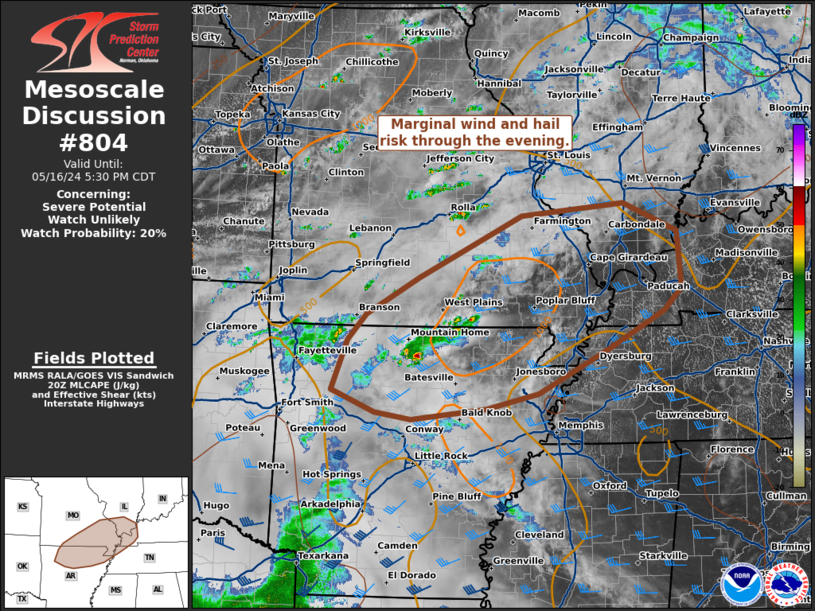
Storm Prediction Center Mesoscale Discussion 804
1 min read
|
|
 |
| Mesoscale Discussion 804 | |
| < Previous MD | |

|
|
Mesoscale Discussion 0804 NWS Storm Prediction Center Norman OK 0338 AM CDT Fri May 16 2025 Areas affected...northeast Ohio...northwest Pennsylvania...and western New York Concerning...Severe potential...Watch unlikely Valid 160838Z - 161015Z CORRECTED FOR GRAPHIC TEXT AND COUNTY LOCATION Probability of Watch Issuance...20 percent SUMMARY...Long-lived thunderstorms continue to slowly weaken as they move east. Brief gusty winds and small hail will be possible in the short term. A watch is not expected. DISCUSSION...Morning radar imagery shows a long-lived MCS continuing to move east across Lake Erie. The environment ahead of the MCS across the highlighted region rapidly becomes less supportive of severe thunderstorms as compared to the environment last evening across Michigan. This less favorable environment should support a continued downward trend in convective intensity as MUCAPE and Effective Layer Shear both drop off with eastward extend across the highlighted area. Satellite imagery bears this out as cloud tops warm across much of the MCS. The exception to this cloud top warming is the far southern cell/storm moving into Eerie County, PA. Brief gusty winds and small hail may be possible for the next hour or so with this cell as it continues to move east. Additional thunderstorms may develop later this morning along/ahead of the MCS, but the overall environment should remain unsupportive of an organized severe threat. Given the unfavorable environment for an organized severe threat, a watch is not anticipated across the area. ..Marsh/Bunting.. 05/16/2025 ...Please see www.spc.noaa.gov for graphic product... ATTN...WFO...BGM...BUF...CTP...PBZ...CLE... LAT...LON 41388281 43728040 43667899 42537752 40697875 41388281 MOST PROBABLE PEAK TORNADO INTENSITY...UP TO 95 MPH MOST PROBABLE PEAK WIND GUST...UP TO 60 MPH MOST PROBABLE PEAK HAIL SIZE...UP TO 1.25 IN |
|
|
Top/All Mesoscale Discussions/Forecast Products/Home |
|
2025-05-16 09:16:02


