Storm Prediction Center Severe Thunderstorm Watch 242
4 min read
6 months ago
Note:
The expiration time in the watch graphic is amended if the watch is
replaced, cancelled or extended. Note: Click for Watch Status Reports.
SEL2
URGENT - IMMEDIATE BROADCAST REQUESTED
Severe Thunderstorm Watch Number 242
NWS Storm Prediction Center Norman OK
420 PM EDT Thu May 8 2025
The NWS Storm Prediction Center has issued a
* Severe Thunderstorm Watch for portions of
Northern Georgia
Western and Central North Carolina
Western and Northern South Carolina
Southwest Virginia
* Effective this Thursday afternoon from 420 PM until Midnight
EDT.
* Primary threats include...
Scattered large hail likely with isolated very large hail events
to 2 inches in diameter possible
Scattered damaging wind gusts to 70 mph likely
SUMMARY...Thunderstorms will continue developing this afternoon and
evening. The most intense cores will be capable of producing large
hail up to 1-2 inches in diameter. There should also be some
potential for a cluster to develop later this evening and pose a
greater threat for severe/damaging winds, with peak gusts up to
60-70 mph.
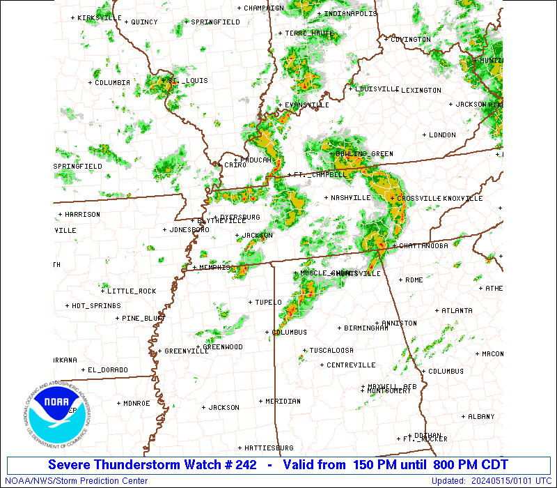
The severe thunderstorm watch area is approximately along and 80
statute miles north and south of a line from 50 miles southwest of
Hot Springs NC to 40 miles south southeast of Danville VA. For a
complete depiction of the watch see the associated watch outline
update (WOUS64 KWNS WOU2).
PRECAUTIONARY/PREPAREDNESS ACTIONS...
REMEMBER...A Severe Thunderstorm Watch means conditions are
favorable for severe thunderstorms in and close to the watch area.
Persons in these areas should be on the lookout for threatening
weather conditions and listen for later statements and possible
warnings. Severe thunderstorms can and occasionally do produce
tornadoes.
&&
OTHER WATCH INFORMATION...CONTINUE...WW 238...WW 239...WW
240...WW 241...
AVIATION...A few severe thunderstorms with hail surface and aloft to
2 inches. Extreme turbulence and surface wind gusts to 60 knots. A
few cumulonimbi with maximum tops to 500. Mean storm motion vector
27030.
...Gleason
   SEL2

   URGENT - IMMEDIATE BROADCAST REQUESTED
   Severe Thunderstorm Watch Number 242
   NWS Storm Prediction Center Norman OK
   420 PM EDT Thu May 8 2025

   The NWS Storm Prediction Center has issued a

   * Severe Thunderstorm Watch for portions of
     Northern Georgia
     Western and Central North Carolina
     Western and Northern South Carolina
     Southwest Virginia

   * Effective this Thursday afternoon from 420 PM until Midnight
     EDT.

   * Primary threats include...
     Scattered large hail likely with isolated very large hail events
       to 2 inches in diameter possible
     Scattered damaging wind gusts to 70 mph likely

   SUMMARY...Thunderstorms will continue developing this afternoon and
   evening. The most intense cores will be capable of producing large
   hail up to 1-2 inches in diameter. There should also be some
   potential for a cluster to develop later this evening and pose a
   greater threat for severe/damaging winds, with peak gusts up to
   60-70 mph.

   The severe thunderstorm watch area is approximately along and 80
   statute miles north and south of a line from 50 miles southwest of
   Hot Springs NC to 40 miles south southeast of Danville VA. For a
   complete depiction of the watch see the associated watch outline
   update (WOUS64 KWNS WOU2).

   PRECAUTIONARY/PREPAREDNESS ACTIONS...

   REMEMBER...A Severe Thunderstorm Watch means conditions are
   favorable for severe thunderstorms in and close to the watch area.
   Persons in these areas should be on the lookout for threatening
   weather conditions and listen for later statements and possible
   warnings. Severe thunderstorms can and occasionally do produce
   tornadoes.

   &&

   OTHER WATCH INFORMATION...CONTINUE...WW 238...WW 239...WW
   240...WW 241...

   AVIATION...A few severe thunderstorms with hail surface and aloft to
   2 inches. Extreme turbulence and surface wind gusts to 60 knots. A
   few cumulonimbi with maximum tops to 500. Mean storm motion vector
   27030.

   ...Gleason
Note:
The Aviation Watch (SAW) product is an approximation to the watch area.
The actual watch is depicted by the shaded areas.
   SAW2
   WW 242 SEVERE TSTM GA NC SC VA 082020Z - 090400Z
   AXIS..80 STATUTE MILES NORTH AND SOUTH OF LINE..
   50SW HSS/HOT SPRINGS NC/ - 40SSE DAN/DANVILLE VA/
   ..AVIATION COORDS.. 70NM N/S /38SE VXV - 17NW RDU/
   HAIL SURFACE AND ALOFT..2 INCHES. WIND GUSTS..60 KNOTS.
   MAX TOPS TO 500. MEAN STORM MOTION VECTOR 27030.

   LAT...LON 36548345 37187906 34887906 34238345

   THIS IS AN APPROXIMATION TO THE WATCH AREA.  FOR A
   COMPLETE DEPICTION OF THE WATCH SEE WOUS64 KWNS
   FOR WOU2.
Watch 242 Status Report Message has not been issued yet.
Probability of 1 or more strong (EF2-EF5) tornadoes
Low (<2%)
Wind
Probability of 10 or more severe wind events
Mod (60%)
Probability of 1 or more wind events > 65 knots
Low (20%)
Hail
Probability of 10 or more severe hail events
High (70%)
Probability of 1 or more hailstones > 2 inches
Mod (30%)
Combined Severe Hail/Wind
Probability of 6 or more combined severe hail/wind events
High (90%)
For each watch, probabilities for particular events inside the watch
(listed above in each table) are determined by the issuing forecaster.
The “Low” category contains probability values ranging from less than 2%
to 20% (EF2-EF5 tornadoes), less than 5% to 20% (all other probabilities),
“Moderate” from 30% to 60%, and “High” from 70% to greater than 95%.
High values are bolded and lighter in color to provide awareness of
an increased threat for a particular event.