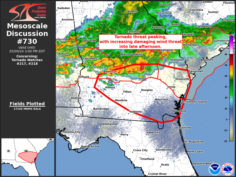
Storm Prediction Center Mesoscale Discussion 730
2 min read
|
|
 |
| Mesoscale Discussion 730 | |
| < Previous MD Next MD > | |

|
|
Mesoscale Discussion 0730 NWS Storm Prediction Center Norman OK 1000 PM CDT Tue May 06 2025 Areas affected...the southern Texas Coastal Plain into Deep South Texas Concerning...Severe Thunderstorm Watch 236... Valid 070300Z - 070500Z The severe weather threat for Severe Thunderstorm Watch 236 continues. SUMMARY...The threat for severe hail will continue through at least 04 UTC along parts of the southern Texas Coastal Plain and into Deep South Texas. DISCUSSION...Isolated supercells along the TX Coastal Plain and into parts of Deep South TX have shown periods of vigorous intensification followed by rapid weakening. This is likely due to storm propagation along and just behind the convectively-reinforced cold front/outflow boundary that continues to push towards the coast. Recent radar analysis from KCRP shows that this boundary likely extends to at least 2 km above radar level, which should be near the mixed-layer LFC based on a modified 00 UTC CRP sounding and recent forecast soundings. Consequently, re-intensification of ongoing convection and/or new convective development appears possible along the boundary as near-surface parcels are lifted close to their LFC. Even with modulated nocturnal cooling, MLCAPE remains between 3500-4000 J/kg, which when combined with the strongly sheared environment (~50 knots of 0-6 km shear sampled by KCRP's VWP) will continue to promote a large to very large hail threat with the more robust supercells. Hail reports up to 2.0 inches have been noted over the past hour, but the convective environment is supportive of supercells capable of producing hail between 2.0 to 3.0 inches in diameter. This threat should persist for at least the next hour or so before the front/outflow reaches the coast. ..Moore.. 05/07/2025 ...Please see www.spc.noaa.gov for graphic product... ATTN...WFO...HGX...CRP...BRO... LAT...LON 27349924 27429914 28369776 29039672 29129641 29089615 28939601 28779599 28659604 28369644 28179684 27829716 27609736 27439750 27289774 27129797 27059822 27039861 27069891 27139918 27219923 27349924 MOST PROBABLE PEAK WIND GUST...55-70 MPH MOST PROBABLE PEAK HAIL SIZE...2.00-3.50 IN |
|
|
Top/All Mesoscale Discussions/Forecast Products/Home |
|
2025-05-07 03:27:02


