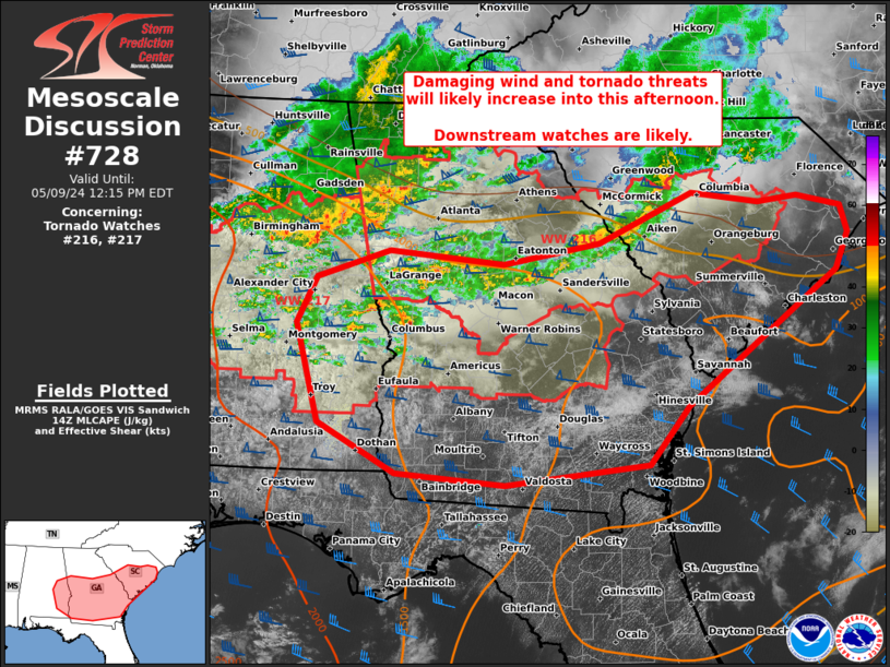
Storm Prediction Center Mesoscale Discussion 728
1 min read
|
|
 |
| Mesoscale Discussion 728 | |
| < Previous MD | |

|
|
   Mesoscale Discussion 0728
   NWS Storm Prediction Center Norman OK
   0735 PM CDT Tue May 06 2025

   Areas affected...parts of the Texas Coastal Plain

   Concerning...Severe potential...Watch possible

   Valid 070035Z - 070230Z

   Probability of Watch Issuance...60 percent

   SUMMARY...Thunderstorms developing along a cold front/outflow
   boundary will likely pose a large hail threat across parts of the TX
   Coastal Plain for the next few hours. Watch issuance is probable
   based on recent convective trends.

   DISCUSSION...Regional radar mosaics and GOES IR imagery show
   multiple thunderstorms and convective towers developing along a
   southeastward moving cold front/outflow boundary along the TX
   Coastal Plain. The near-storm convective environment remains very
   favorable for organized convection with around 4000 J/kg MLCAPE and
   roughly 60 knots of effective bulk shear recently sampled by the 00
   UTC CRP sounding. This environment will support vigorous
   thunderstorm development along the boundary with primarily a large
   to very large hail threat (possibly upwards of 2.0 to 3.5 inches in
   diameter). Stronger capping with southwestward extend should limit
   storm coverage, but will also promote a higher probability for
   discrete, potentially long-lived convection. Given the recent radar
   trends of the developing cells (echo tops beginning to exceed 40-50
   kft), watch issuance appears probable.

   ..Moore/Smith.. 05/07/2025

   ...Please see www.spc.noaa.gov for graphic product...

   ATTN...WFO...HGX...CRP...EWX...

   LAT...LON   27689711 27549718 27379733 27329746 27389775 27569870
               27719885 27919881 28199863 28849798 29339730 29469693
               29449666 29259649 29079638 28809628 28589623 28439625
               28409636 27969693 27689711

   MOST PROBABLE PEAK WIND GUST...55-70 MPH
   MOST PROBABLE PEAK HAIL SIZE...2.00-3.50 IN
|
|
|
Top/All Mesoscale Discussions/Forecast Products/Home |
|
2025-05-07 00:37:04


