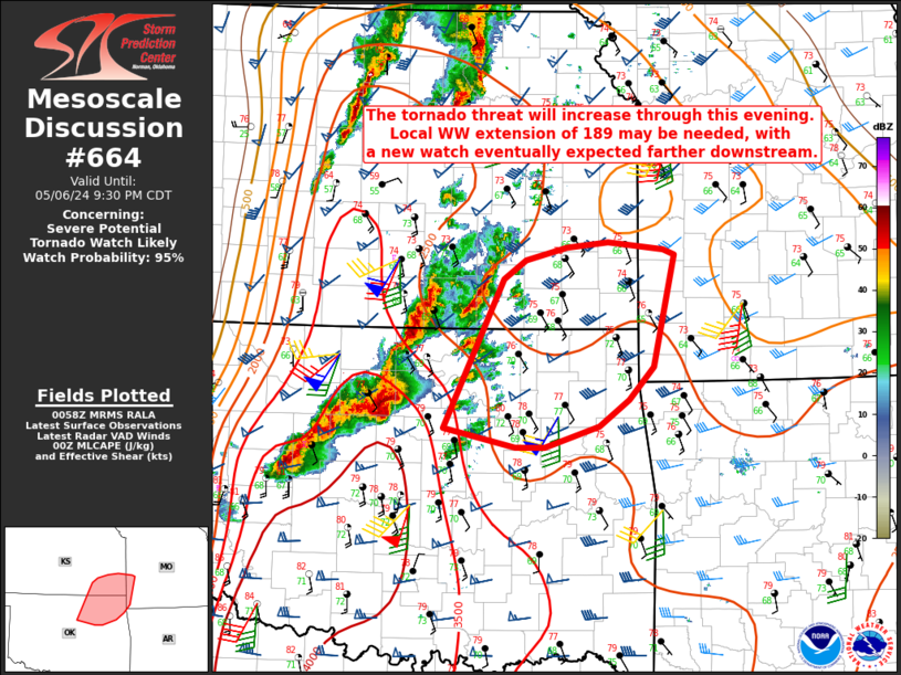
Storm Prediction Center Mesoscale Discussion 664
1 min read
|
|
 |
| Mesoscale Discussion 664 | |
| < Previous MD Next MD > | |

|
|
   Mesoscale Discussion 0664
   NWS Storm Prediction Center Norman OK
   1058 AM CDT Sat May 03 2025

   Areas affected...the western Carolinas and southwest VA

   Concerning...Severe potential...Watch possible

   Valid 031558Z - 031800Z

   Probability of Watch Issuance...40 percent

   SUMMARY...An isolated damaging wind and small to marginal severe
   hail threat should develop across parts of the western Carolinas
   into southwest Virginia this afternoon. Uncertainty exists over the
   degree of severe-storm coverage and intensity for a possible watch.

   DISCUSSION...Initial shower development is underway across the
   western Carolinas and should be the primary corridor of isolated to
   scattered storms this afternoon. This activity is within more muted
   boundary-layer heating with greater insolation/warmth eastward in
   the Piedmont to Coastal Plain. With weak mid-level lapse rates, it
   may take a few hours for cells to intensify to marginal severe
   levels. Amid a fairly unidirectional, south-southwesterly wind
   profile, storms may eventually spread towards steeper low-level
   lapse rates over the Piedmont. Primary severe threat is expected
   from localized strong gusts to around 60 mph producing isolated
   damaging winds.

   ..Grams/Gleason.. 05/03/2025

   ...Please see www.spc.noaa.gov for graphic product...

   ATTN...WFO...RAH...RNK...CAE...GSP...

   LAT...LON   37398016 37497956 37337912 36377943 34658023 33938090
               33798147 34438184 35208198 36258137 37048061 37398016

   MOST PROBABLE PEAK WIND GUST...UP TO 60 MPH
   MOST PROBABLE PEAK HAIL SIZE...UP TO 1.25 IN
|
|
|
Top/All Mesoscale Discussions/Forecast Products/Home |
|
2025-05-03 16:19:05


