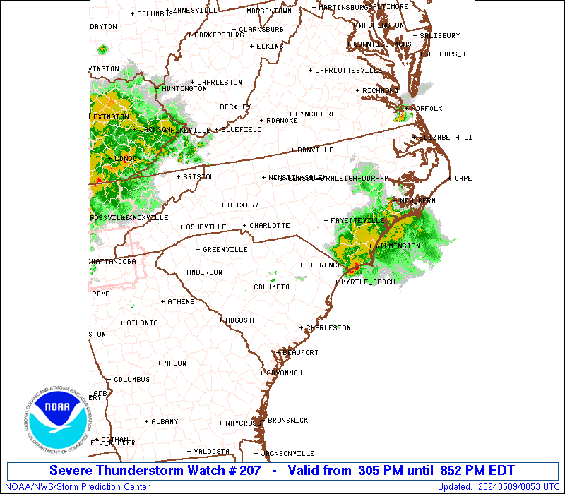
Storm Prediction Center Severe Thunderstorm Watch 207
3 min read
4 months ago
Note:
The expiration time in the watch graphic is amended if the watch is
replaced, cancelled or extended. Note: Click for Watch Status Reports.
   SEL7

   URGENT - IMMEDIATE BROADCAST REQUESTED
   Severe Thunderstorm Watch Number 207
   NWS Storm Prediction Center Norman OK
   600 PM CDT Thu May 1 2025

   The NWS Storm Prediction Center has issued a

   * Severe Thunderstorm Watch for portions of
     Northeast New Mexico
     Texas Panhandle

   * Effective this Thursday night and Friday morning from 600 PM
     until 100 AM CDT.

   * Primary threats include...
     Scattered damaging winds and isolated significant gusts to 80
       mph possible
     Scattered large hail and isolated very large hail events to 2
       inches in diameter possible

   SUMMARY...A linear cluster of cells will likely grow upscale into a
   linear band of storms as this activity intensifies and moves
   east-southeast across the Watch area this evening.  Large hail and
   severe gusts will be possible with the more intense thunderstorms
   and surging outflow.

   The severe thunderstorm watch area is approximately along and 65
   statute miles north and south of a line from 45 miles southwest of
   Clayton NM to 55 miles north northeast of Childress TX. For a
   complete depiction of the watch see the associated watch outline
   update (WOUS64 KWNS WOU7).

   PRECAUTIONARY/PREPAREDNESS ACTIONS...

   REMEMBER...A Severe Thunderstorm Watch means conditions are
   favorable for severe thunderstorms in and close to the watch area.
   Persons in these areas should be on the lookout for threatening
   weather conditions and listen for later statements and possible
   warnings. Severe thunderstorms can and occasionally do produce
   tornadoes.

   &&

   OTHER WATCH INFORMATION...CONTINUE...WW 203...WW 204...WW
   205...WW 206...

   AVIATION...A few severe thunderstorms with hail surface and aloft to
   2 inches. Extreme turbulence and surface wind gusts to 70 knots. A
   few cumulonimbi with maximum tops to 450. Mean storm motion vector
   29025.

   ...Smith
Note:
The Aviation Watch (SAW) product is an approximation to the watch area.
The actual watch is depicted by the shaded areas.
   SAW7
   WW 207 SEVERE TSTM NM TX 012300Z - 020600Z
   AXIS..65 STATUTE MILES NORTH AND SOUTH OF LINE..
   45SW CAO/CLAYTON NM/ - 55NNE CDS/CHILDRESS TX/
   ..AVIATION COORDS.. 55NM N/S /49N TCC - 51NNE CDS/
   HAIL SURFACE AND ALOFT..2 INCHES. WIND GUSTS..70 KNOTS.
   MAX TOPS TO 450. MEAN STORM MOTION VECTOR 29025.

   LAT...LON 36930372 36119991 34229991 35050372

   THIS IS AN APPROXIMATION TO THE WATCH AREA.  FOR A
   COMPLETE DEPICTION OF THE WATCH SEE WOUS64 KWNS
   FOR WOU7.
Watch 207 Status Report Messages:
STATUS REPORT #2 ON WW 207

VALID 020320Z - 020440Z

SEVERE WEATHER THREAT CONTINUES RIGHT OF A LINE FROM 45 SW AMA TO
25 SE BGD TO 40 SE GUY.

..SPC..05/02/25

ATTN...WFO...ABQ...AMA...LUB...

&&

STATUS REPORT FOR WS 207

SEVERE WEATHER THREAT CONTINUES FOR THE FOLLOWING AREAS

TXC011-045-069-075-087-129-179-191-211-295-357-381-393-437-483-
020440-

TX
.    TEXAS COUNTIES INCLUDED ARE

ARMSTRONG	     BRISCOE		 CASTRO
CHILDRESS	     COLLINGSWORTH	 DONLEY
GRAY		     HALL		 HEMPHILL
LIPSCOMB	     OCHILTREE		 RANDALL
ROBERTS 	     SWISHER		 WHEELER
$$


THE WATCH STATUS MESSAGE IS FOR GUIDANCE PURPOSES ONLY.  PLEASE
REFER TO WATCH COUNTY NOTIFICATION STATEMENTS FOR OFFICIAL
INFORMATION ON COUNTIES...INDEPENDENT CITIES AND MARINE ZONES
CLEARED FROM SEVERE THUNDERSTORM AND TORNADO WATCHES.
$$

STATUS REPORT #1 ON WW 207

VALID 020025Z - 020140Z

SEVERE WEATHER THREAT CONTINUES RIGHT OF A LINE FROM 5 WSW TCC TO
30 SSW EHA.

..SPC..05/02/25

ATTN...WFO...ABQ...AMA...LUB...

&&

STATUS REPORT FOR WS 207

SEVERE WEATHER THREAT CONTINUES FOR THE FOLLOWING AREAS

NMC037-020140-

NM
.    NEW MEXICO COUNTIES INCLUDED ARE

QUAY
$$


TXC011-045-065-075-087-111-117-129-179-191-195-205-211-233-295-
341-357-359-375-381-393-421-483-020140-

TX
.    TEXAS COUNTIES INCLUDED ARE

ARMSTRONG	     BRISCOE		 CARSON
CHILDRESS	     COLLINGSWORTH	 DALLAM
DEAF SMITH	     DONLEY		 GRAY
HALL		     HANSFORD		 HARTLEY
HEMPHILL	     HUTCHINSON 	 LIPSCOMB
MOORE		     OCHILTREE		 OLDHAM
POTTER		     RANDALL		 ROBERTS
SHERMAN 	     WHEELER
$$


THE WATCH STATUS MESSAGE IS FOR GUIDANCE PURPOSES ONLY.  PLEASE
REFER TO WATCH COUNTY NOTIFICATION STATEMENTS FOR OFFICIAL
INFORMATION ON COUNTIES...INDEPENDENT CITIES AND MARINE ZONES
CLEARED FROM SEVERE THUNDERSTORM AND TORNADO WATCHES.
$$
Probability of 1 or more strong (EF2-EF5) tornadoes
Low (<2%)
Wind
Probability of 10 or more severe wind events
Mod (40%)
Probability of 1 or more wind events > 65 knots
Mod (40%)
Hail
Probability of 10 or more severe hail events
Mod (40%)
Probability of 1 or more hailstones > 2 inches
Mod (30%)
Combined Severe Hail/Wind
Probability of 6 or more combined severe hail/wind events
High (80%)
For each watch, probabilities for particular events inside the watch
(listed above in each table) are determined by the issuing forecaster.
The “Low” category contains probability values ranging from less than 2%
to 20% (EF2-EF5 tornadoes), less than 5% to 20% (all other probabilities),
“Moderate” from 30% to 60%, and “High” from 70% to greater than 95%.
High values are bolded and lighter in color to provide awareness of
an increased threat for a particular event.