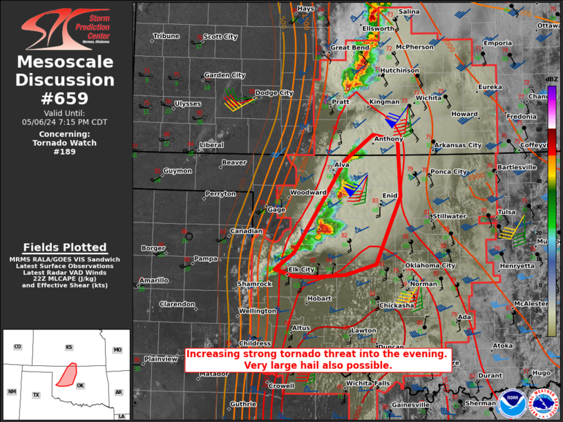
Storm Prediction Center Mesoscale Discussion 659
2 min read
|
|
 |
| Mesoscale Discussion 659 | |
| < Previous MD Next MD > | |

|
|
Mesoscale Discussion 0659 NWS Storm Prediction Center Norman OK 0534 PM CDT Fri May 02 2025 Areas affected...Central Alabama to far northwest Georgia Concerning...Severe Thunderstorm Watch 214...216... Valid 022234Z - 030030Z The severe weather threat for Severe Thunderstorm Watch 214, 216 continues. SUMMARY...A squall line moving east across central/northern Alabama and into far northwest Georgia will continue to pose a damaging wind threat through the early evening hours. DISCUSSION...Regional radar mosaics show the development of a consolidated squall line extending from northeast to central AL. Local reflectivity and velocity data show segments of the line are struggling to maintain a balanced updraft/downdraft convergence zone - likely the result of weak low/mid-level shear as sampled by the KBMX VWP - but other segments show strong low-level velocities. The KHTX VWP recently sampled 35-50 mph winds within the lowest 1-2 km associated with the passage of the line, and surface observations have also recently sampled gusts between 35-40 mph. Downstream of the line, low-level lapse rates remain near 8-8.5 C/km, which will continue to facilitate efficient downward momentum transfer of the stronger low-level winds. Additionally, the line is migrating into the apex of a buoyancy ridge draped across AL with MLCAPE values upwards of 1000-1500 J/kg. As such, the potential for damaging winds should persist for the next few hours as the squall line progresses east - especially where balanced updraft/downdraft convergence zones can be maintained. In the absence of a stronger kinematic environment, the onset of nocturnal cooling after 00/01 UTC should result in increasing inhibition and modulate the wind threat heading into the late evening hours. ..Moore.. 05/02/2025 ...Please see www.spc.noaa.gov for graphic product... ATTN...WFO...MRX...FFC...BMX...HUN... LAT...LON 32548819 33288749 34048671 34678616 34938579 35018524 34968482 34758460 34428464 33908499 33518540 33048586 32778623 32558662 32418698 32368724 32338764 32368795 32428813 32548819 MOST PROBABLE PEAK TORNADO INTENSITY...UP TO 95 MPH MOST PROBABLE PEAK WIND GUST...55-70 MPH MOST PROBABLE PEAK HAIL SIZE...1.00-1.75 IN |
|
|
Top/All Mesoscale Discussions/Forecast Products/Home |
|
2025-05-02 22:45:04


