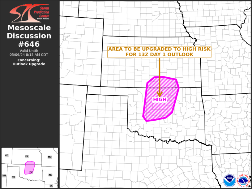
Storm Prediction Center Mesoscale Discussion 646
1 min read
|
|
 |
| Mesoscale Discussion 646 | |
| < Previous MD Next MD > | |

|
|
   Mesoscale Discussion 0646
   NWS Storm Prediction Center Norman OK
   1103 AM CDT Fri May 02 2025

   Areas affected...north GA through the western Carolinas

   Concerning...Severe potential...Watch unlikely

   Valid 021603Z - 021800Z

   Probability of Watch Issuance...20 percent

   SUMMARY...Isolated damaging winds and small to marginally severe
   hail will be possible through this afternoon. While a severe
   thunderstorm watch issuance is not anticipated, we'll be monitoring
   for greater severe-storm coverage/organization.

   DISCUSSION...Scattered thunderstorm development appears to be
   underway across north GA into far western SC, with more isolated
   development into western NC. The air mass across GA is moderately
   unstable with weaker buoyancy northeastward. Deep-layer shear is
   lacking though with decidedly veered and weak lower-level winds per
   FFC/GSP VWP data. This is expected to remain largely steady-state
   through the afternoon. Adequate mid-level westerlies should exist
   for some small to marginally severe hail cores. This would enhance
   microburst potential and attendant threat for localized wind damage.

   ..Grams/Hart.. 05/02/2025

   ...Please see www.spc.noaa.gov for graphic product...

   ATTN...WFO...RAH...RNK...CAE...GSP...MRX...FFC...

   LAT...LON   34988433 35248276 36338129 36698033 36487926 35508015
               34628106 33778212 33568325 33578402 33648459 34018465
               34988433

   MOST PROBABLE PEAK WIND GUST...55-70 MPH
   MOST PROBABLE PEAK HAIL SIZE...UP TO 1.25 IN
|
|
|
Top/All Mesoscale Discussions/Forecast Products/Home |
|
2025-05-02 16:14:03


