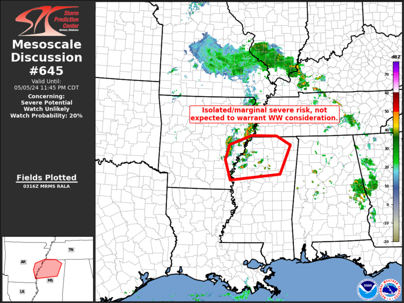
Storm Prediction Center Mesoscale Discussion 645
1 min read
|
|
 |
| Mesoscale Discussion 645 | |
| < Previous MD | |

|
|
   Mesoscale Discussion 0645
   NWS Storm Prediction Center Norman OK
   1043 AM CDT Fri May 02 2025

   Areas affected...OH into western PA

   Concerning...Severe potential...Watch possible

   Valid 021543Z - 021745Z

   Probability of Watch Issuance...60 percent

   SUMMARY...A generally isolated severe hail and damaging wind threat
   should develop this afternoon. Severe thunderstorm watch issuance is
   possible.

   DISCUSSION...Initial thunderstorm development is underway across
   parts of west-central OH along a weak cold front that is progged to
   move east through the afternoon. Additional storm formation is
   expected along the front northward to Lake Erie. With only scattered
   clouds ahead of the front, further boundary-layer heating will
   support modest MLCAPE of 1000-1500 J/kg later this afternoon.
   Moderate west-southwesterly speed shear will favor multicell
   clusters with a sporadic severe hail and damaging wind threat. Low
   confidence exists for more substantial organization, rendering some
   uncertainty regarding the overall coverage of severe this afternoon.

   ..Grams/Hart.. 05/02/2025

   ...Please see www.spc.noaa.gov for graphic product...

   ATTN...WFO...CTP...PBZ...RLX...CLE...ILN...

   LAT...LON   39618438 40308442 41278272 41858051 41897973 41687940
               41047959 40787988 40088107 39468336 39618438

   MOST PROBABLE PEAK WIND GUST...55-70 MPH
   MOST PROBABLE PEAK HAIL SIZE...1.00-1.75 IN
|
|
|
Top/All Mesoscale Discussions/Forecast Products/Home |
|
2025-05-02 15:46:02


