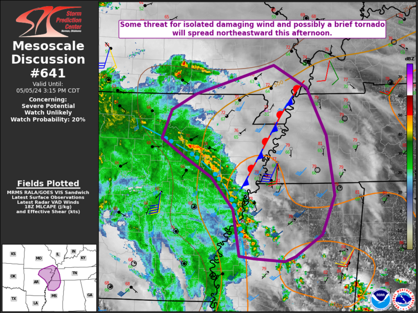
Storm Prediction Center Mesoscale Discussion 641
1 min read
|
|
 |
| Mesoscale Discussion 641 | |
| < Previous MD | |

|
|
Mesoscale Discussion 0641 NWS Storm Prediction Center Norman OK 0914 PM CDT Thu May 01 2025 Areas affected...Oklahoma Concerning...Severe potential...Watch likely Valid 020214Z - 020345Z Probability of Watch Issuance...80 percent SUMMARY...Severe thunderstorm watch will likely be issued for much of Oklahoma. Hail and wind are possible with overnight convection. DISCUSSION...Low-amplitude short-wave trough is digging southeast across the High Plains, currently extending from western KS into the western TX Panhandle. A loosely organized band of thunderstorms has developed ahead of this feature and should continue propagating toward western OK over the next few hours. Additionally, surface boundary has sharpened a bit downstream, extending from near TUL-southern McClain County-near Lawton. As 1km flow increases into this frontal corridor later this evening it appears this boundary may encourage robust thunderstorm development. Most high-res models favor some version of this scenario, and strong shear will prove beneficial in potential organization. Hail and damaging winds are the primary concern and a severe thunderstorm watch appears warranted. ..Darrow/Smith.. 05/02/2025 ...Please see www.spc.noaa.gov for graphic product... ATTN...WFO...SHV...TSA...OUN... LAT...LON 36289967 35999531 33969511 34259990 36289967 MOST PROBABLE PEAK TORNADO INTENSITY...UP TO 95 MPH MOST PROBABLE PEAK WIND GUST...65-80 MPH MOST PROBABLE PEAK HAIL SIZE...1.50-2.50 IN |
|
|
Top/All Mesoscale Discussions/Forecast Products/Home |
|
2025-05-02 02:33:02


